This is a road trip travelogue from Calgary to Sunshine coast and back. We were a group of 8 which included adults, kid and a senior, my mom. This trip was done in the second half of August 2024. Itinerary can be found at end of this page
Sunshine Coast is facing Pacific Ocean, but the main Vancouver Island is blocking the open ocean. We drove around 2400kms and explored the area in 10 days. Learned so much about the islands and sea life mostly sea lions and seals, that we can write an essay about them! Many days our plans were ruined by the heavy rains and wind in this area but were able to reschedule some of our planned activities to other days and made it all work out in the end.
- Day 1 : Calgary to Salmon Arm
We started our journey from Calgary on a Friday round 3pm. Drove straight to Salmon Arm and spend the night there. Golden visitor center is our usual pit stop on the way and there is a Tim Hortens nearby as well. Usually for one night stay’s we prefer low-cost hotels, and we chose Super 8 this time. I would say it was not a great choice, but was sufficient for our 1 night stop over.
- Day 2: Salmon Arm to Langdale (Sunshine Coast)
Day 2, we drove from Salmon Arm to Horseshoe Bay ferry terminal, on the way we had pit stop at Starbucks, Hope and a brief time exploring Lynn Canyon and Suspension bridge. We caught the evening 7 pm Ferry and it had to be pre-booked online before our travel – BC Ferries. Preferred to book round trip as return trips are cheaper. It always recommended to be at the Ferry terminal half an hour to 1 hour before the time of departure even though you have a ticket booked, just to get through the huge queue.
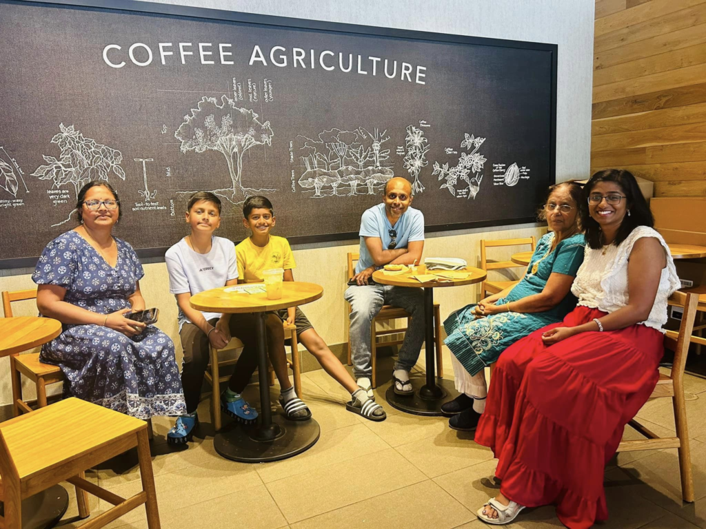

Lynn Canyon
Lynn canyon and suspension bridge is the shorter and free version of Capilano suspension bridge and canyon. It was very crowded there. But if you have some time, its a really nice place to explore. Quite a lot of cool trails that goes down into the canyon.


Drive to Vancouver and Lynn Canyon – short video
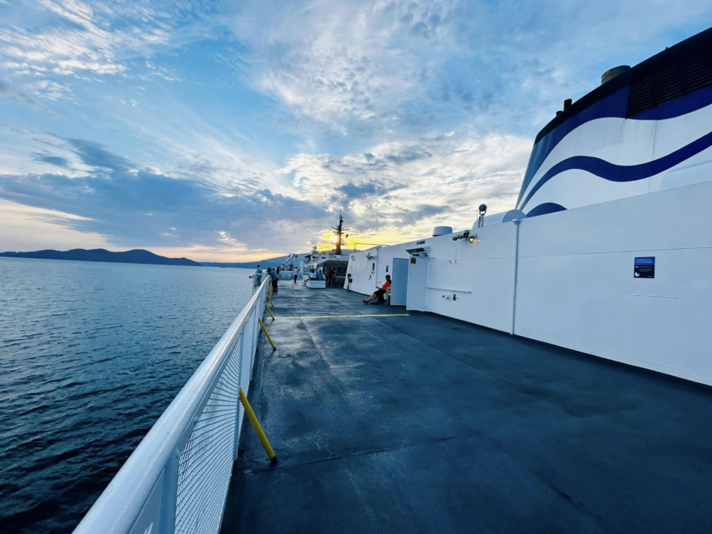
Ferry from Horseshoe bay, North Vancouver to Langdale (Sunshine Coast)
- Day 3: Langdale/Gibsons
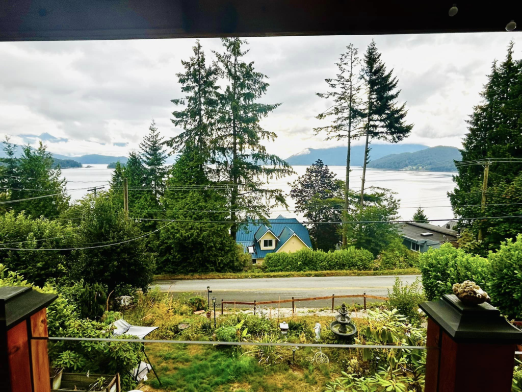
Our B&B at Gibsons was so cutely decorated with beach theme and was facing the ocean.
Coming from busy cities, sunshine coast was such a peaceful place for us. Less people and cars, you can hear the waves, bird and wind.
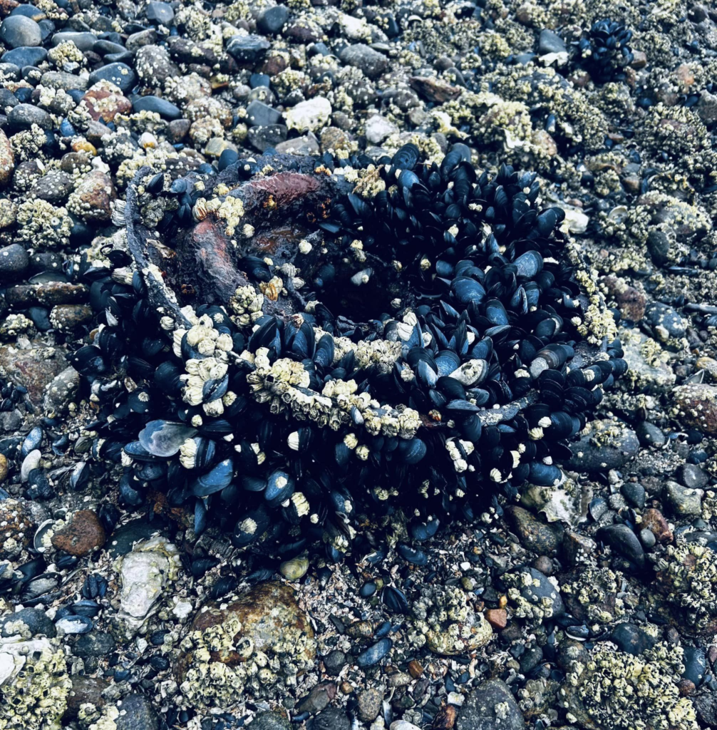
Day 3 started with a walk at the nearby beach, which was mostly rocky but had some sand area as well
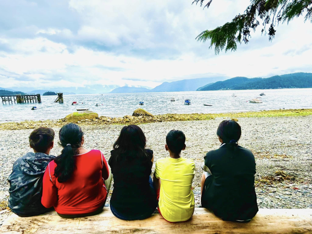
David’s bay
Even though Sunshine Coast is at the inland part of Pacific Ocean, the tides are still fascinating.. In the evenings, within minutes the water level goes higher and engulfs the big rocks and the beaches. The beaches are mostly rocky and not sandy unlike the Tofino beaches. But this area is so calm and less touristy compared to Tofino. Many times we end up getting private beach experience with tranquilly of nature.
We spend the afternoon at David’s bay at Sechelt. Sechelt is the main town in this peninsula. David’s bay is right by the sunshine coast highway. Its a nice walk along the shoreline, has a beautiful jetty and a great place to play in the water
We had wet suits (body suits) with us, which definitely allowed us to be in the cold ocean water for longer time without getting frozen (compared to normal swim suits). Also crocks or water shoes are really helpful as the beaches are rocky. Even if it looks sandy at some spots as soon as we walk a bit in water we come across rocks which are not too visible above water
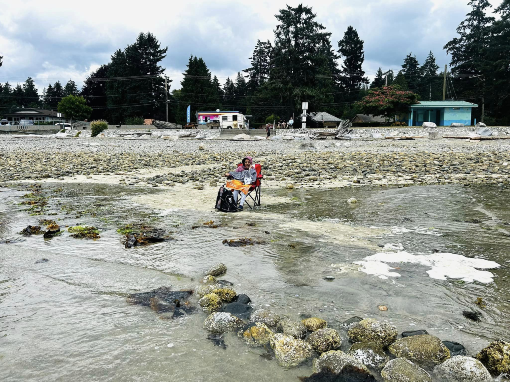
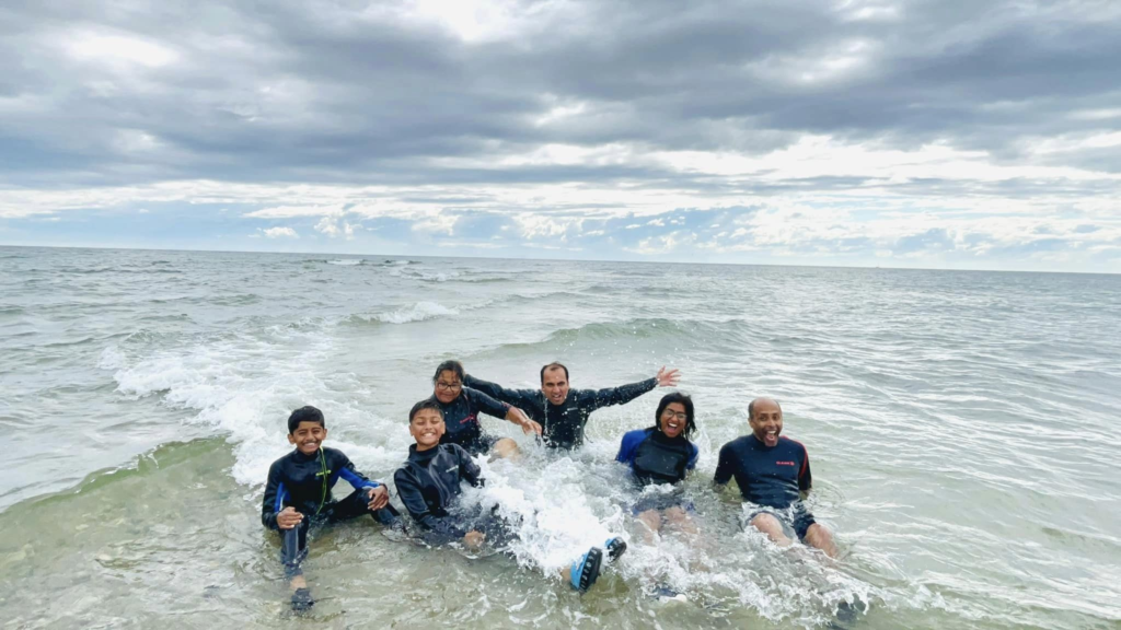
David’s Bay exploring ,play time in water, Beach near our B&B and an evening BBQ at the B&B
Another place to visit at Sechelt is Porpoise bay and for sure can find some sea life like the star fish, crabs etc. We couldn’t make it there as there was heavy rainfall and thunderstorm that evening.
- Day 4: Sea Kayaking and Ferry to Malaspina peninsula
Sea kayaking
We did a 4 hour sea kayaking class with Halfmoon bay Kayaks, Sechelt. It was the best part of our trip to Sechelt. Our instructor, Griffin was amazing. Griffin taught us everything we need to know to be out on our own next time. How to get in and out of Kayaks, different strokes, how to get back on the kayaks if it capsizes (only one of us tried it though 😀). We were kayaking pretty confident and fast by the end of the lesson. Went to nearby island area and also observed some sea life (Star fish, crab, jelly fish, sea cucumbers). Griffin is also very knowledgeable on the land and sea life around. He informed us about different types of jelly fish, star fix, sea cucumbers, crabs and even showed all of them and let us feel some of them too. Based on the color you can know which ones are poisonous. All the moon jelly fishes white in color are non poisonous and most of the star fishes are non poisonous as well. Amazing experience !!! My mom was siting at the dock while we were out kayaking and it started raining. They brought an umbrella and a hat for her !! Such an awesome team.
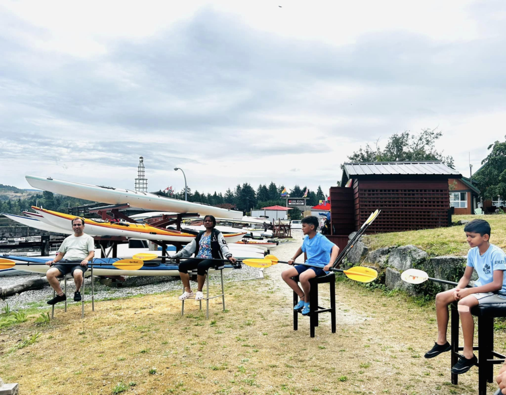
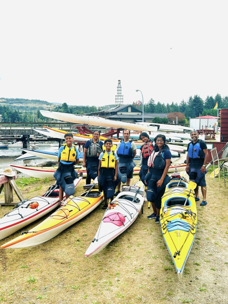
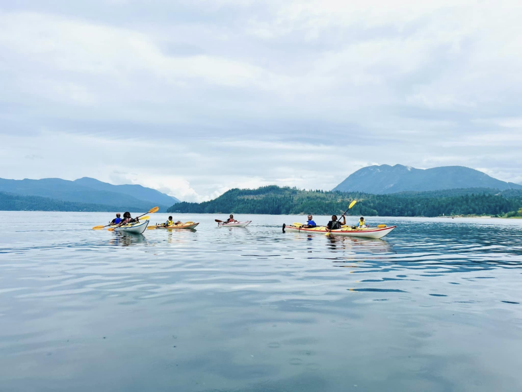
Sea kayaking experience
Earls cove to Saltery Bay Ferry ride
Ferry ride from Sechelt Peninsula to the next peninsula of Malaspina (even though a peninsula there is no road to reach this place directly without the ferry)
This Ferry is much smaller than the one from Vancouver mainland. It has only one main deck with couple of side decks for vehicles. Its first come first serve and no advanced booking is needed. Its always safer to reach half an hour to 1 hour earlier to catch the ferry to guarantee a spot though.

Earls cove to Saltery Bay Ferry ride
- Day 5: Exploring Powell river
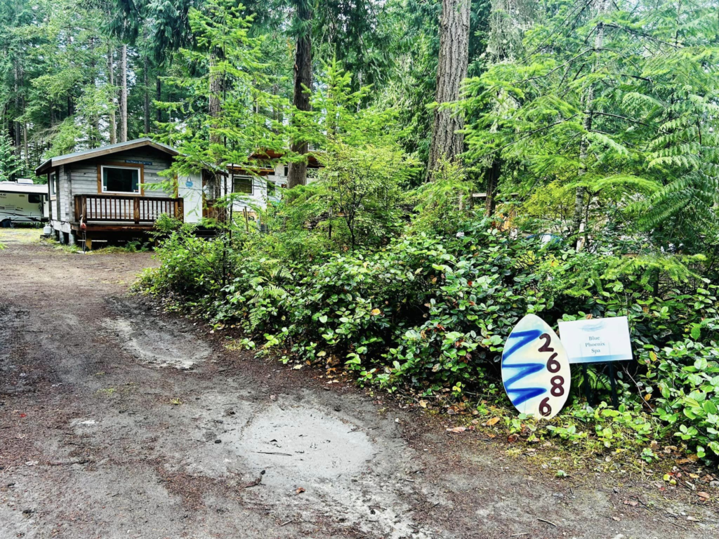
Our stay was in a B&B near Stillwater and it was a half an hour drive to Powell river from there. Our B&B was really good and very spacious.
Powell River is the main town of Malaspina peninsula, this peninsula is very less populated and touristy compared to the Sechelt one.
We spend this day exploring powell river and nearby areas – Walk at the Willington beach trail, some water time at Gibson’s beach (Rocky shores), checking out the concrete ships breakwater and a sunset walk at Myrtle rocks..
Willington beach
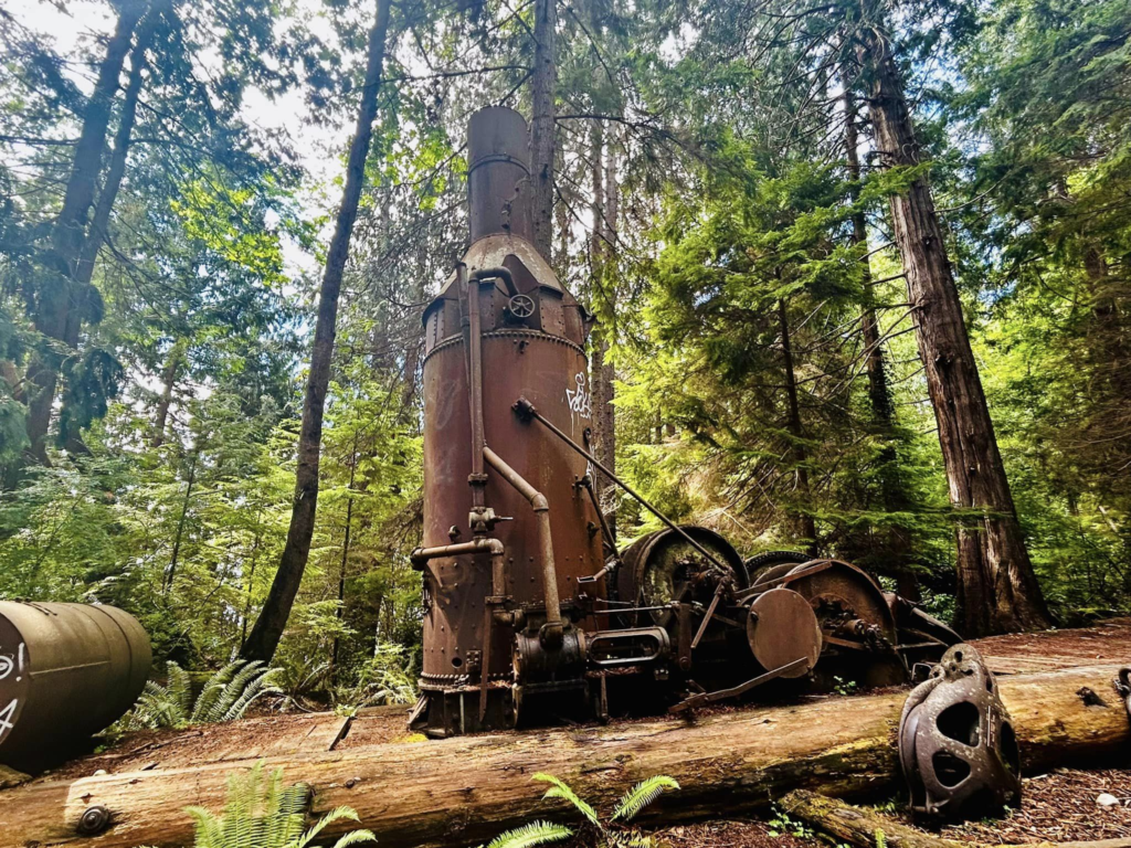
This is a really nice picnic spot with a small playground, picnic tables, campground, ice creme shop, cut little light house, sea wall and the awesome beach trail

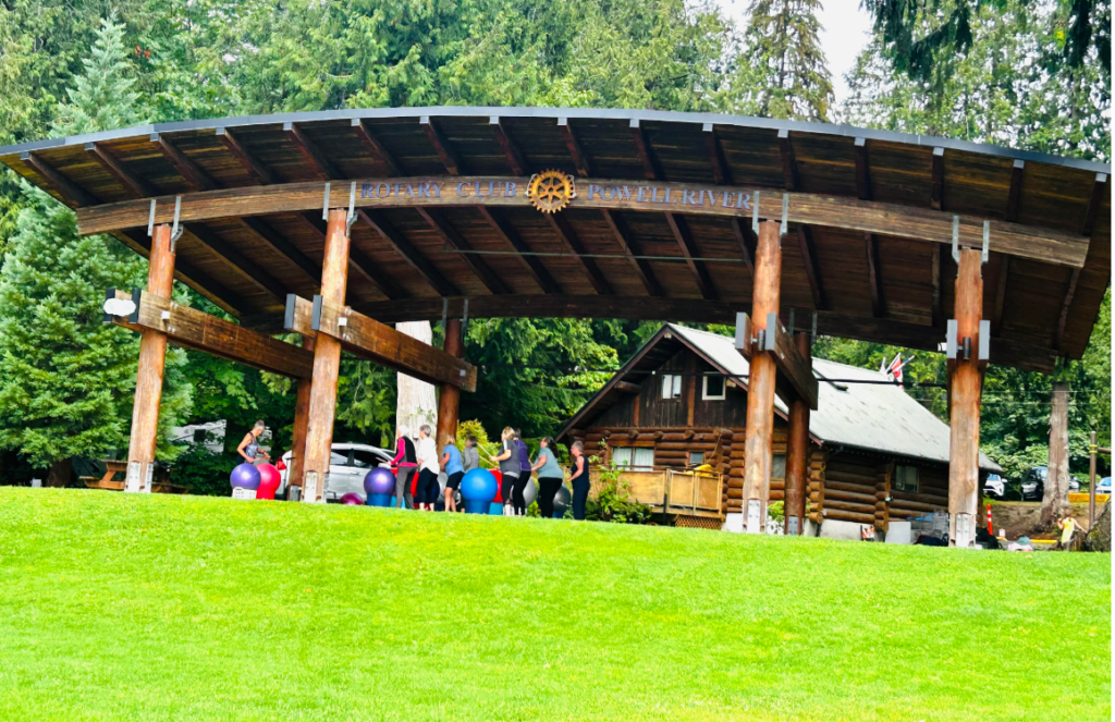

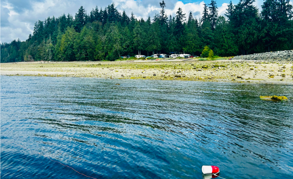
Willington beach trail (around 4km)
Well marked very wide trail with sign boards of the equipment’s on display. There are small trials leading to the beach in between. We were able to take mom’s wheel chair on this trail without much difficulty.



Gibsons beach
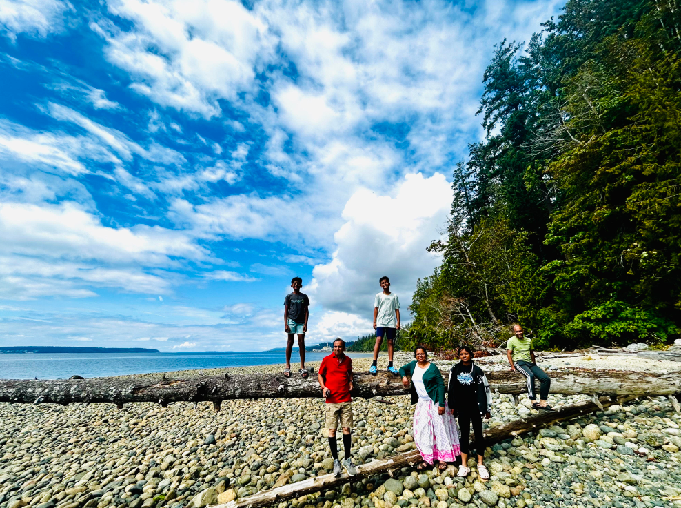
We were looking for a beach to spend some water time and found this quite little place. Mostly rocky shores with intermittent sand areas

Breakwater Concrete ships
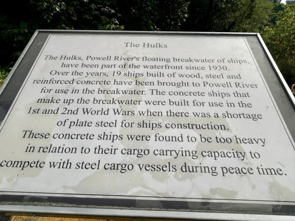
Concrete ships that were heavier than the steel ships which were decommissioned from service were used to create breakwater for the use of the paper mill. The view point of these ships is not really obvious on the map. Its right on the sunshine coast highway itself, a small view point on the side. There are many informative sign boards to know the history of these ships and the paper mill.

Myrtle rocks
This is a small beach and view point area between Powell river and Saltery bay (closer to Powell river). In the morning time you actually can walk to these rocks while in the afternoon the tides come up and almost covers these rocks. We saw some seals roaming around here in the evening. There are some cute bird houses and a nice little walk to these bird houses.


Day 5 video – Powel river – Willington beach trail, Gibbons beach, concrete ships and myrtle rocks
- Day 6: Lund and some sea life !
This was a rainy/windy day so our boating trip to desolation sound was moved to next day. But this is the day we saw some sea life without a guide or taking a boat – sea lions, crabs, jelly fish, star fish.. Went to Lund the North point of this peninsula where the highway ends. After that there is a mud road that leads further up to the end of the peninsula maybe a 15 kms more. We went on it for some time and reached a view point called divers rock. Even though we continued further on the road hoping to reach Sarah’s point, had to return as the road got really tricky ups and downs which our car can’t handle. Many parts of this area are privately owned and people usually commute on boat than land.
Divers rock
some big rocks looking over the open ocean, gave us an amazing view of a sea lion catching a fish and trying to escape the sea gulls that are behind it to get a piece of the fish. Meany sea gulls ![]()
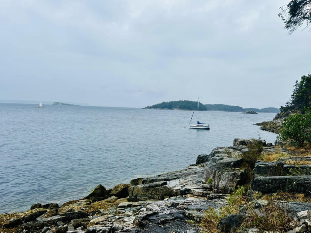
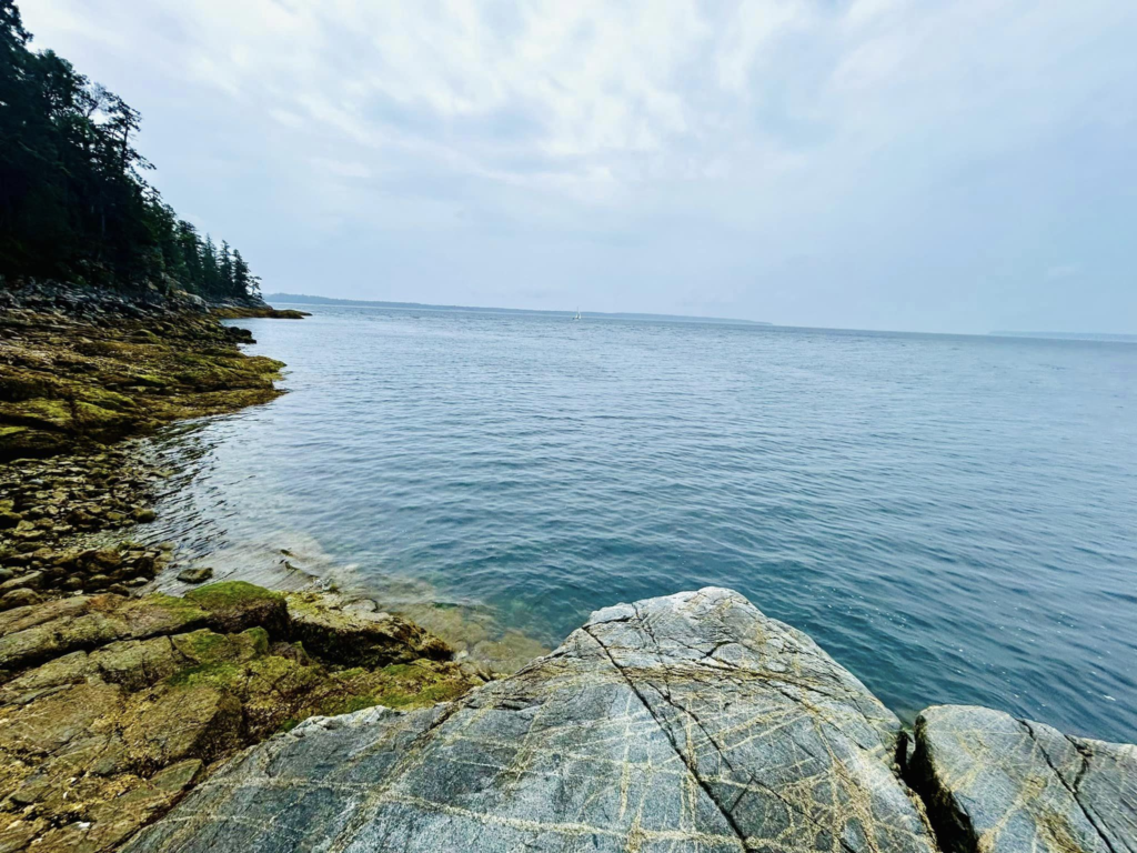
Sea lion tackling a fish and escaping the gulls. My phone camera couldn’t capture what our eyes saw.. missing a zoom lens
Oakover arm
Drove to the other end of Lund which is oakover arm.. another small boat launching area which showed us some sea life crabs, jellyfishes and starfishes.. seeing them roaming around in their natural habitat was amazing..
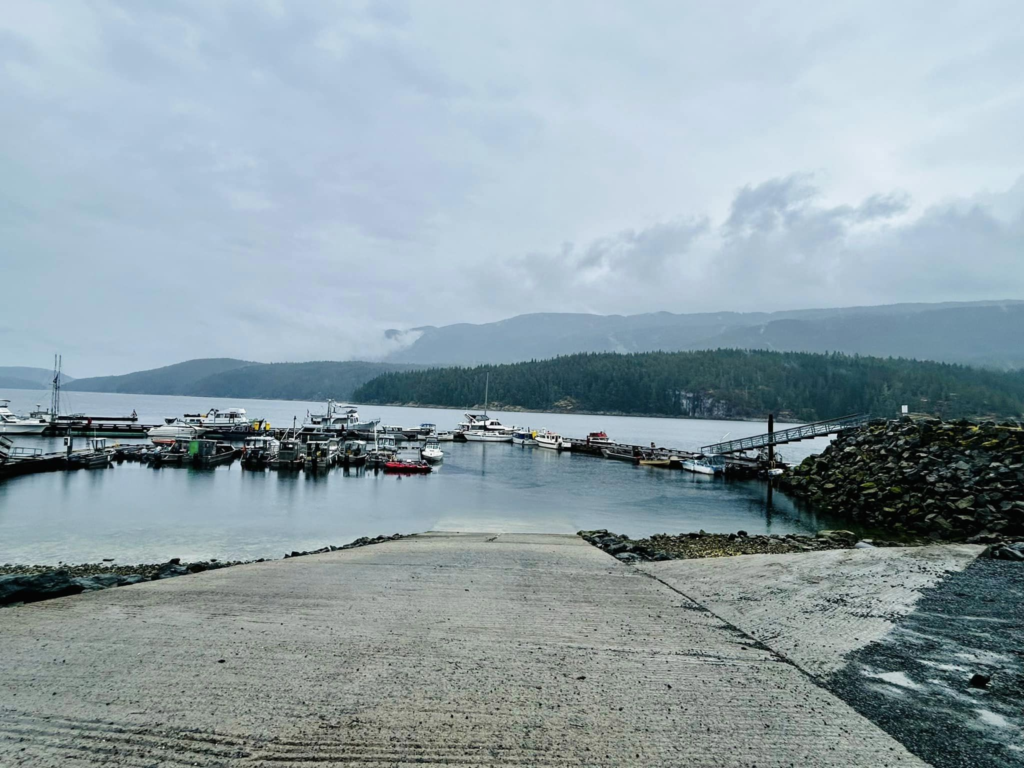
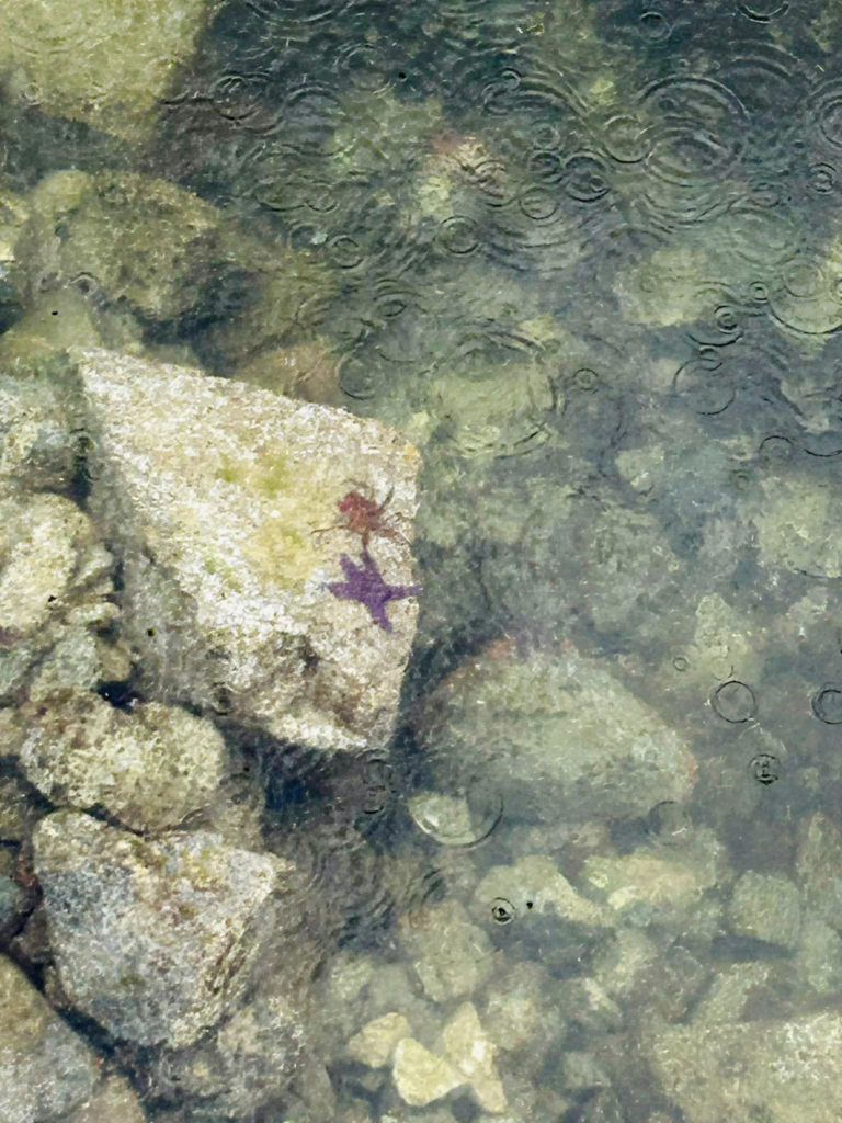
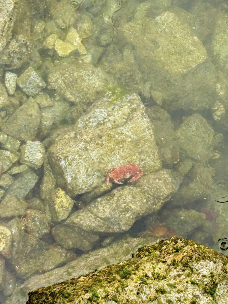
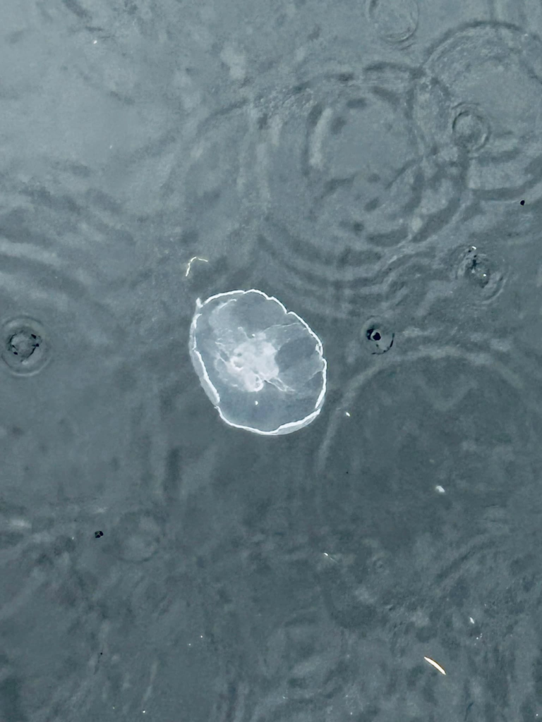
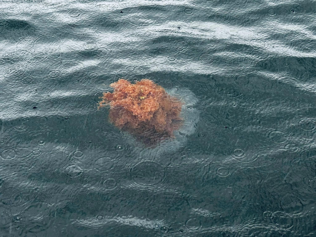
Divers rock and sea life at oakover arm
- Day 7: Savory Island and Desolation sound road trip
This was a jam packed day with a trip to savory island and a boat trip to desolation sound.
Savory island
It’s the only place on Sunshine Coast that have some nice sandy beaches. The island is in total 11km long and 1.5 km wide. Lot of cottages there which are summer homes and vacation rentals. There is water taxi from Lund to Savory island. The taxi should be booked both to and for at least couple of days ahead so you get the time slot you want. They are pretty full and it might not be easy to accommodate in other time slots. We can book land taxi as well with the same company. If you need a ride back to the water taxi terminal, you can book this at least 2 hours ahead of time by calling them. One lady at the water taxi office was not very friendly and messed up our land taxi time and we ended up waiting an hour.
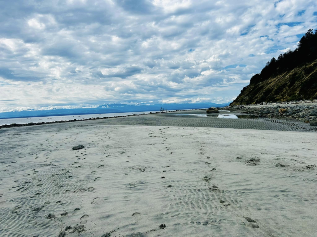
We walked quite a lot on the island and visited few beaches. And caught a taxi ride back to the water taxi at end of day. Duck bay, mermaid beach, Sutherland beach and south beach. We kept the best beach (South Beach) for last and ended up with half of us not even getting to see it. Underestimated the walk time on the island. Make sure to have a full day – catch the first water taxi to the island and catch the last one back so you get enough time to explore the place. Also make sure to visit south beach first !!
There are lot of B&Bs and houses on this island so if you want to spend couple of days there that would give a lot of time to explore this little gem well. We talked to a lady who was tending to her garden when we passed by. She is from Red deer Alberta and spends 4-5 months every year on this island. She was telling us how different it is to visit the island and actually live on the island. There is a shop which has some necessary stuff but mostly you need to take your boat and go to Powell river to get your shopping done. They have gone to Powell river 3 times in 4 months and rest they managed from the shop on the island. When they come back to the island in spring, every year they spend lot of time cleaning up their house, plants would have grown on the roof and the wood would need some maintenance. Winters on the island are pretty harsh and lot of maintenance have to be done to the houses. No one lives on the island in winter. April to October people would be there. Event he water taxi is twice a day during spring and fall but in summer it usually runs hourly during the day. There is a bike shop that you can rent bikes to explore the island, spa, candy shop and the market.
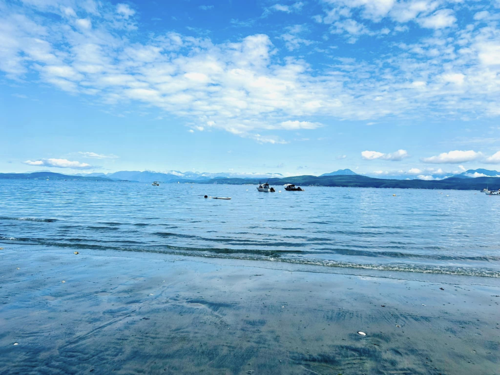
Most of these beaches had no one or very less people. Its an amazing experience to have a beach to yourself !
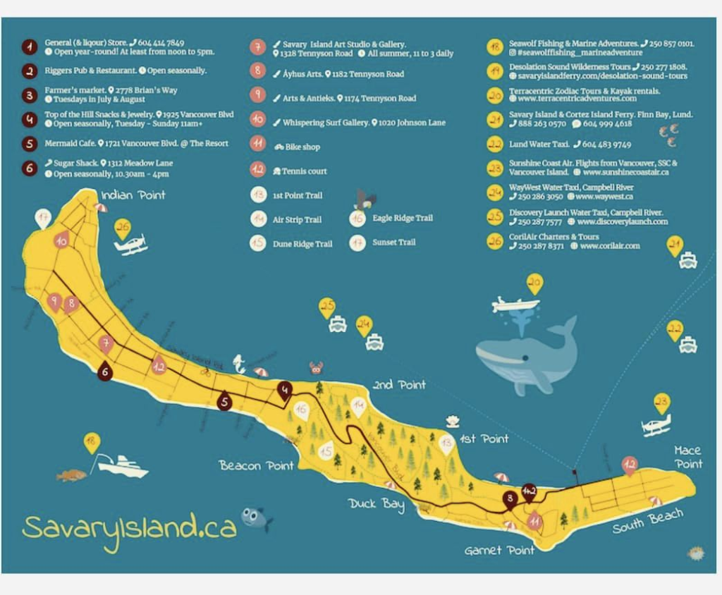
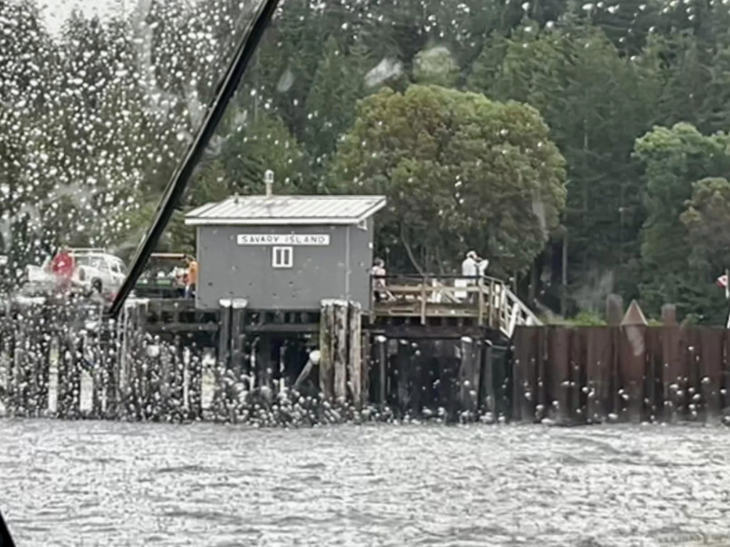
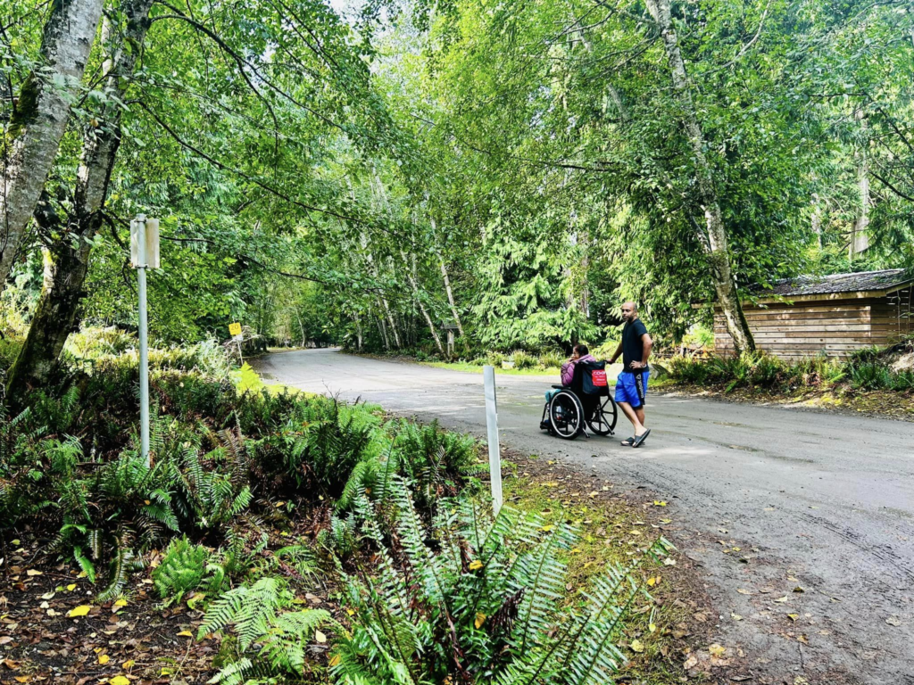
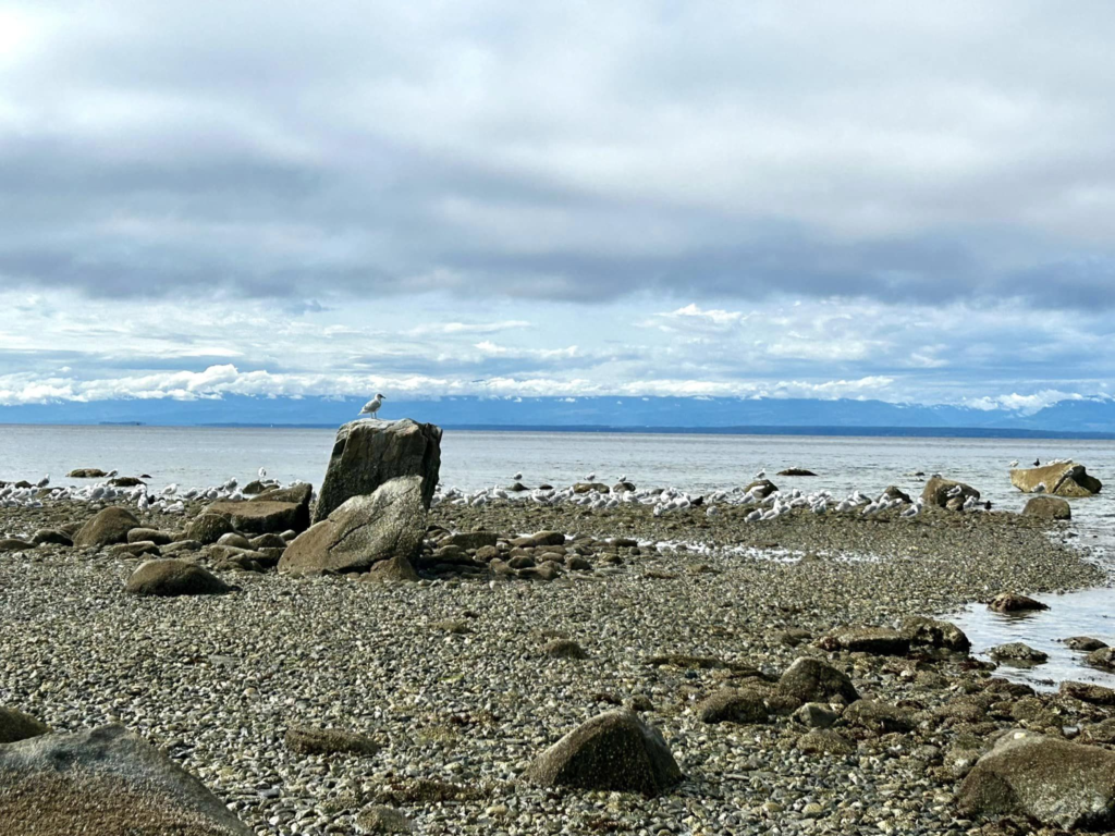
Duck Bay:
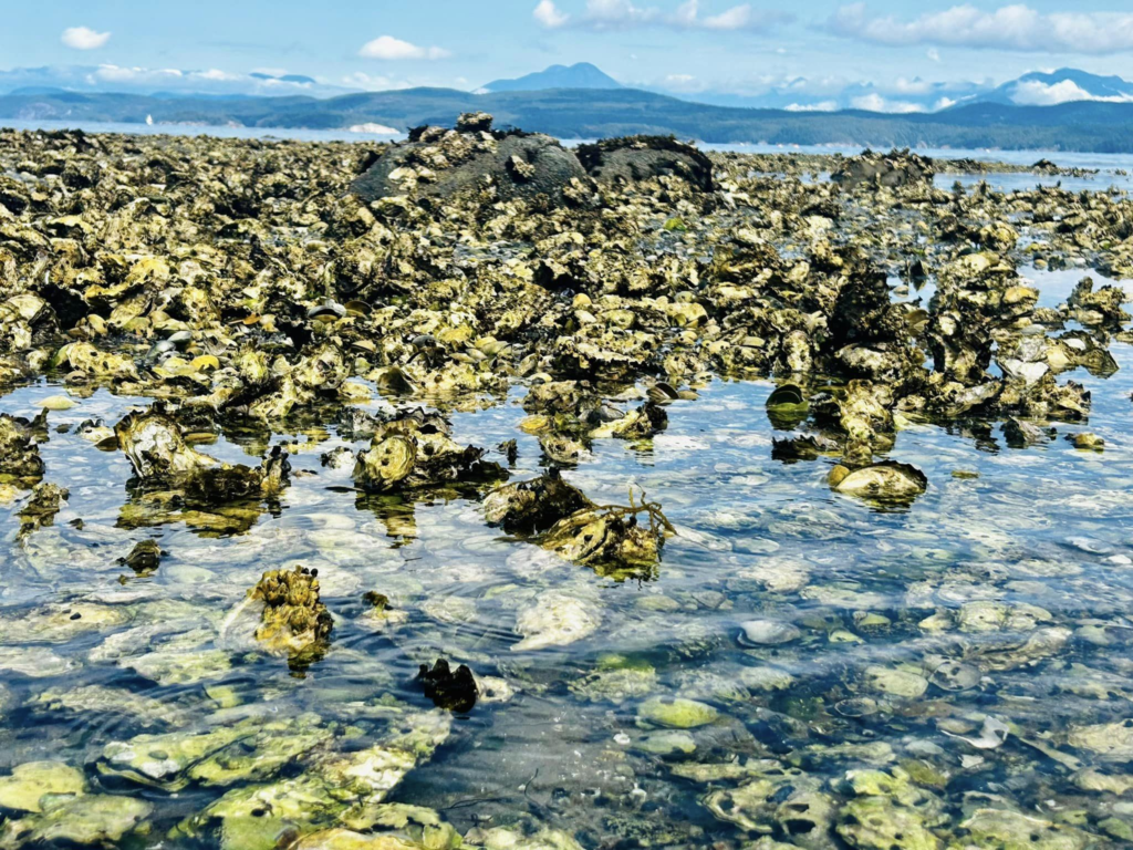
Pretty beautiful beach, the sea gulls love this place. We found lot of sea gulls, oyster catchers (brown bird with red beaks) and a few ducks
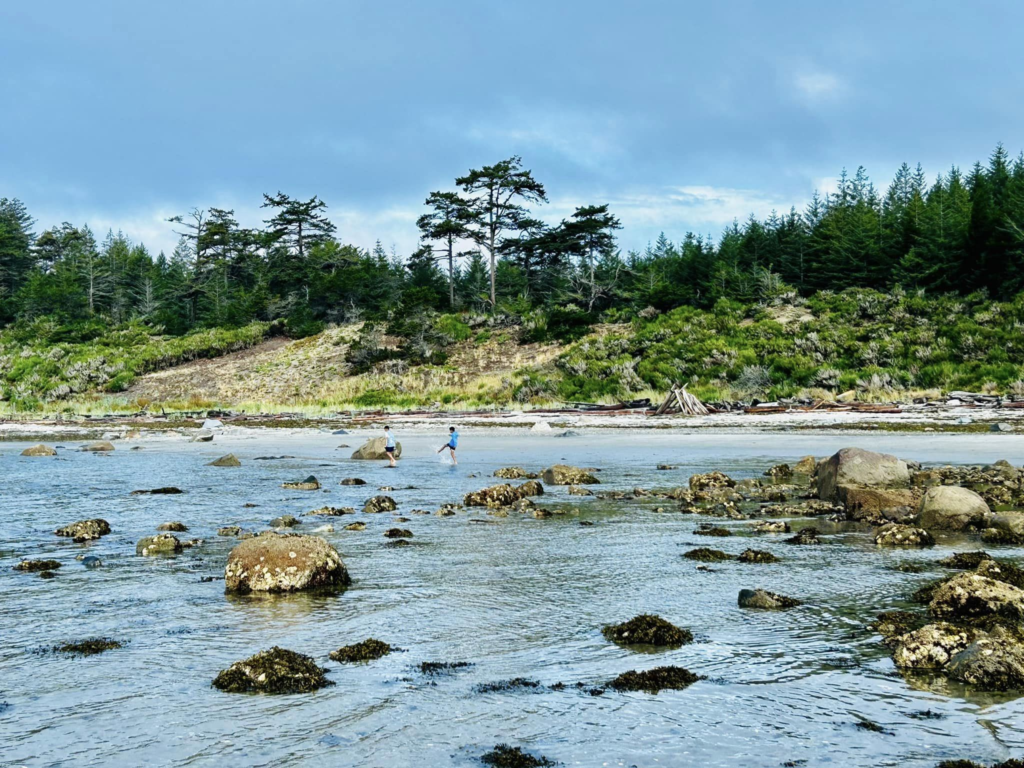
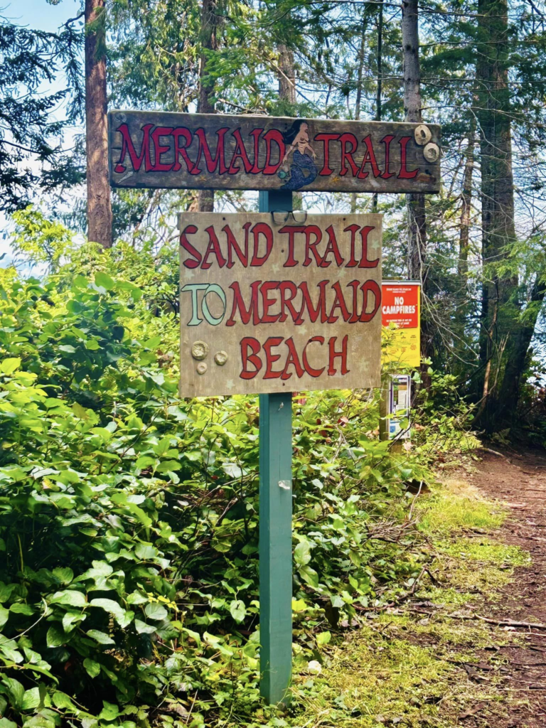
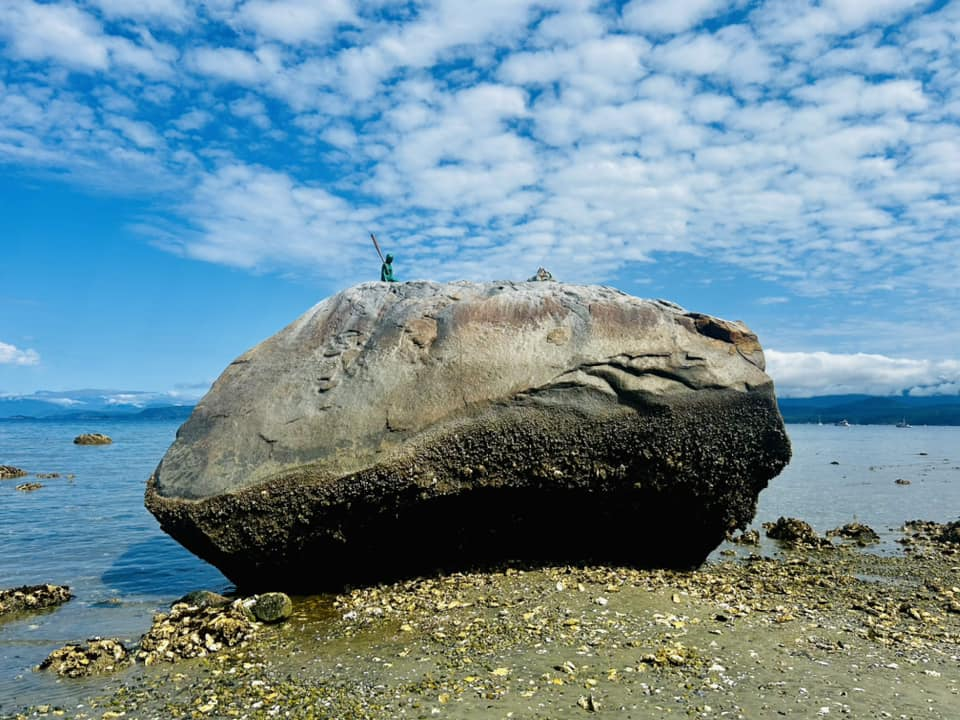
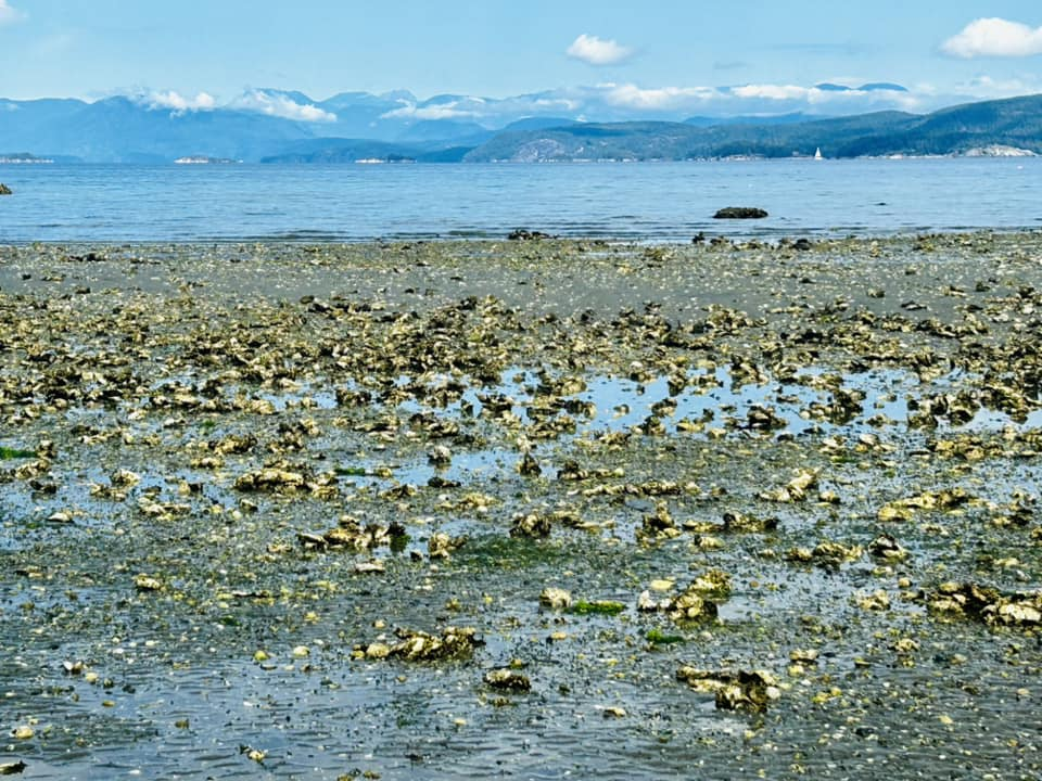
Mermaid Beach
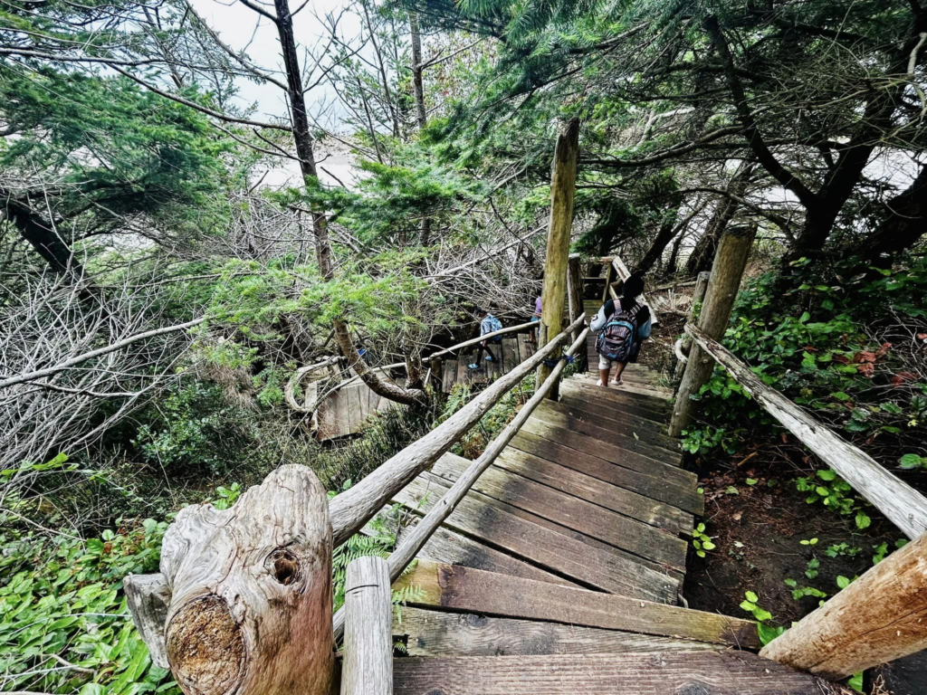
This one has a steep downhill from the main road. Not accessible by wheelchair. And this beach is filled with sea shells and snails. I didn’t really figure out why it was called mermaid beach. There is a rock but couldn’t find any resemblance with mermaids
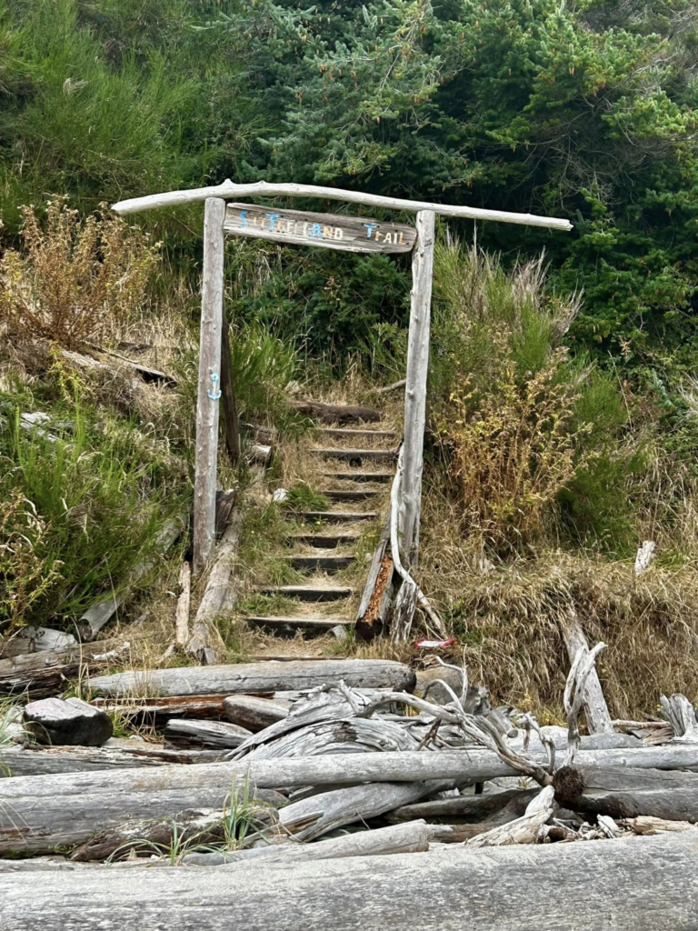
Sutherland Beach
Another beach with steep downhill to reach the shore. I liked this one the most. It has pretty good sandy shore.
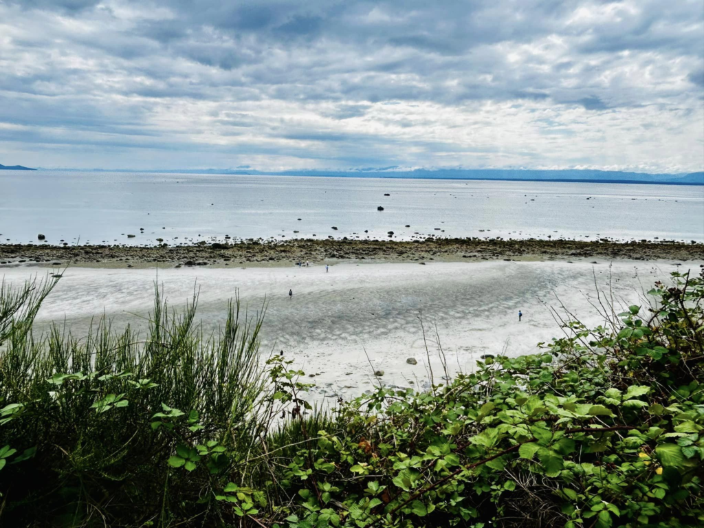
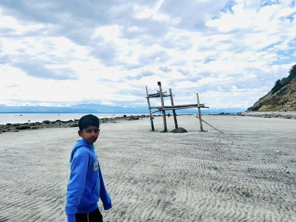
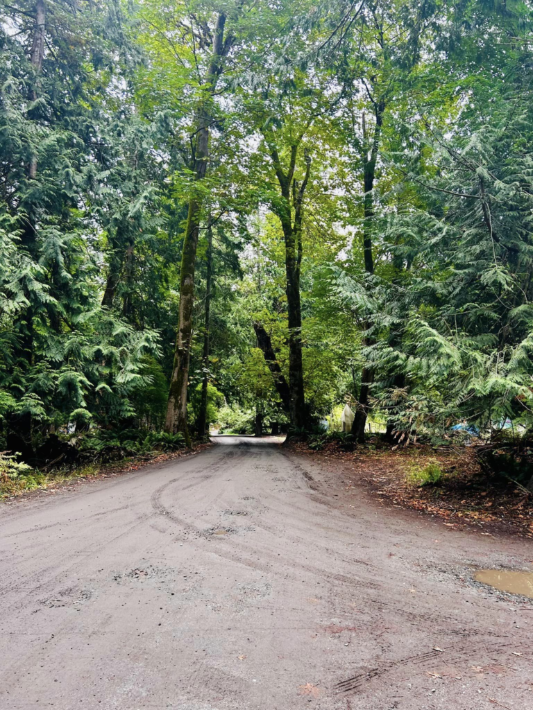
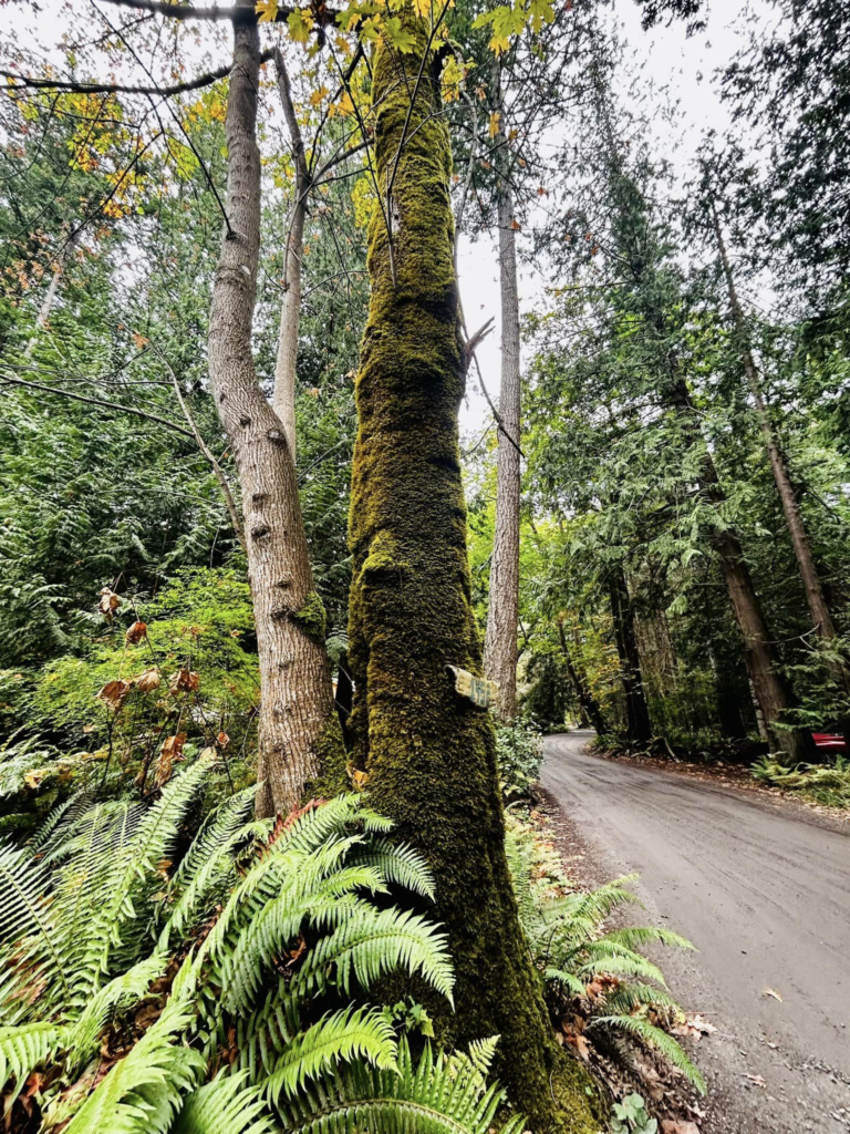
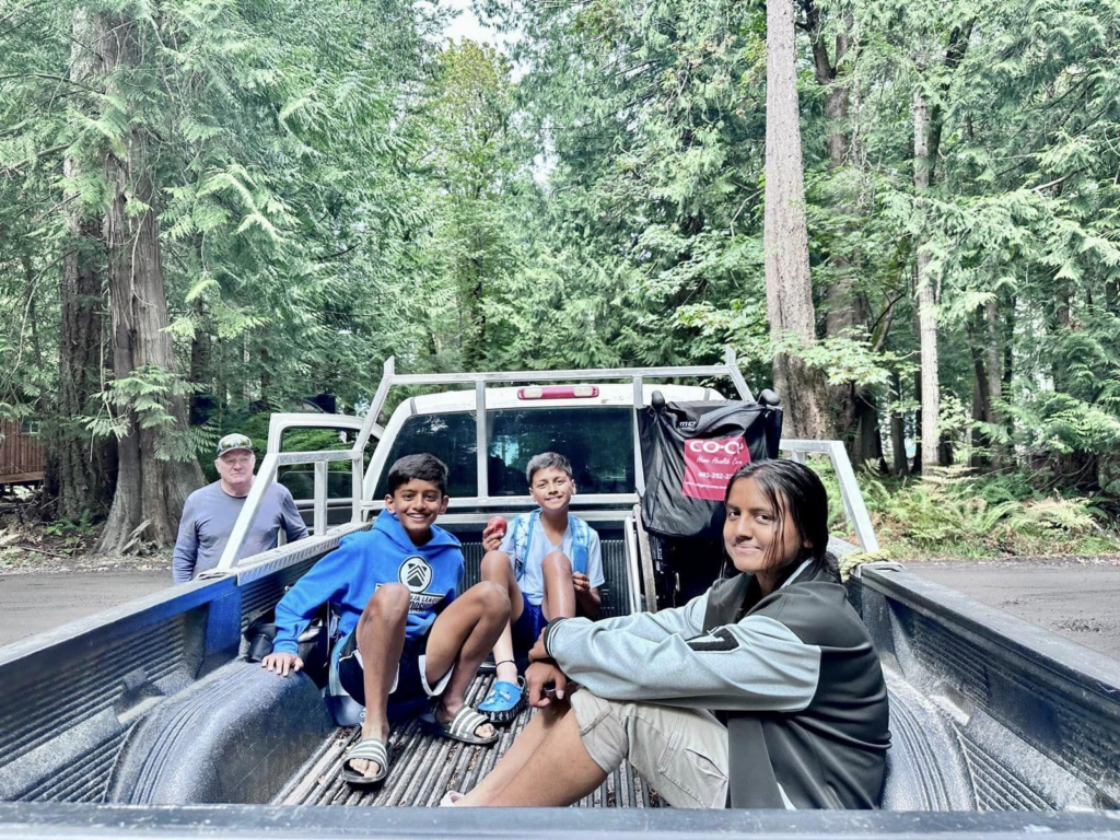
Short video – Savory Island – the walk, duck bay, mermaid beach
Savory Island – exploring Sutherland beach
Zodiac boat trip to desolation sound
Sunset Zodiac tour to desolation sound with Terracentric Zodiac and Kayak tours, Lund. This was the most informative part of the whole trip. Our guide was so knowledgeable on the islands, settlements, sea life…
Desolation sound : when the British explorer Mr. Vancouver discovered this part of the world he found it so boring and not fit for any entertainment and hence the name desolate and sound means inland ocean between islands and mainland.
Lot of summer houses, private owned islands, some islands with as less as 20 people and some with as many as 15k, some have industries, main ones have electricity, lot of camping platforms on many islands were people kayak in and camp.
Saw some rocky islands which are home to birds, seals and sea lions. Seals look like big slugs when they lie on rocks and sea lion’s head resembles a bear. Seals have no protruding ears, can hold breath up to 30 mins, can grow up to 5 feet, crawl on their body. Sea lions can grow up to 14 feet, have flippers that they can use to walk on land and are very noisy guys..
Amazing experience watching these sea animals, zooming past the small and big islands, and a beautiful sunset !
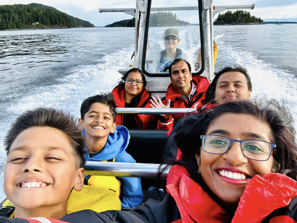
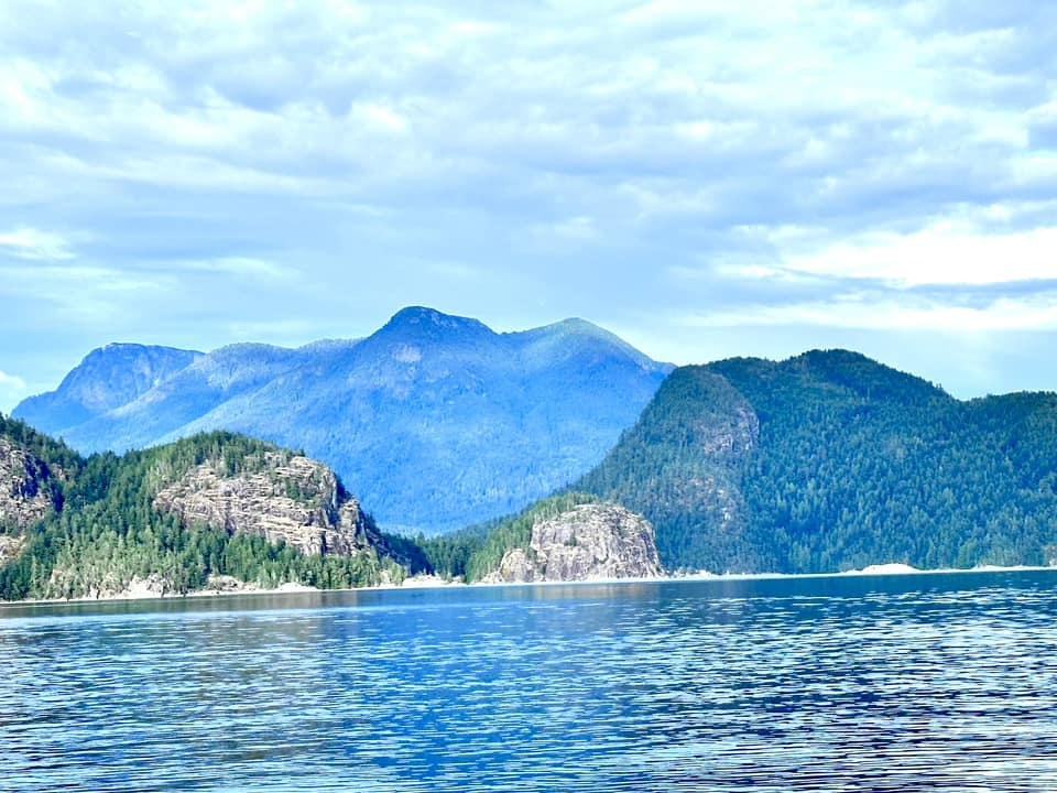
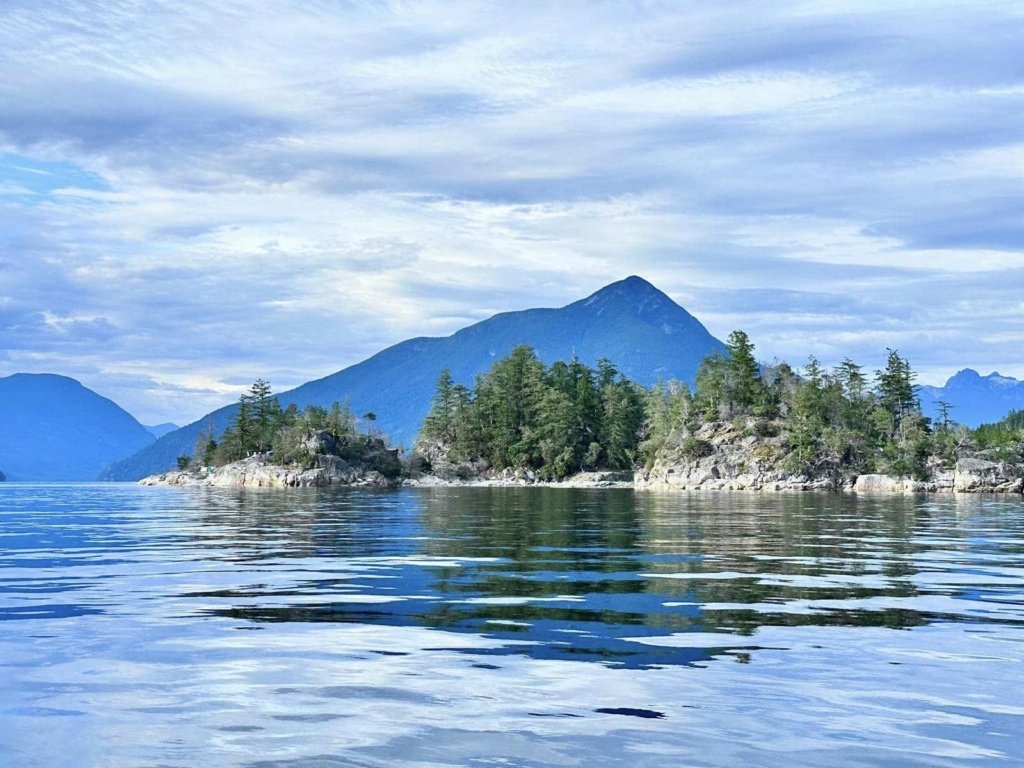
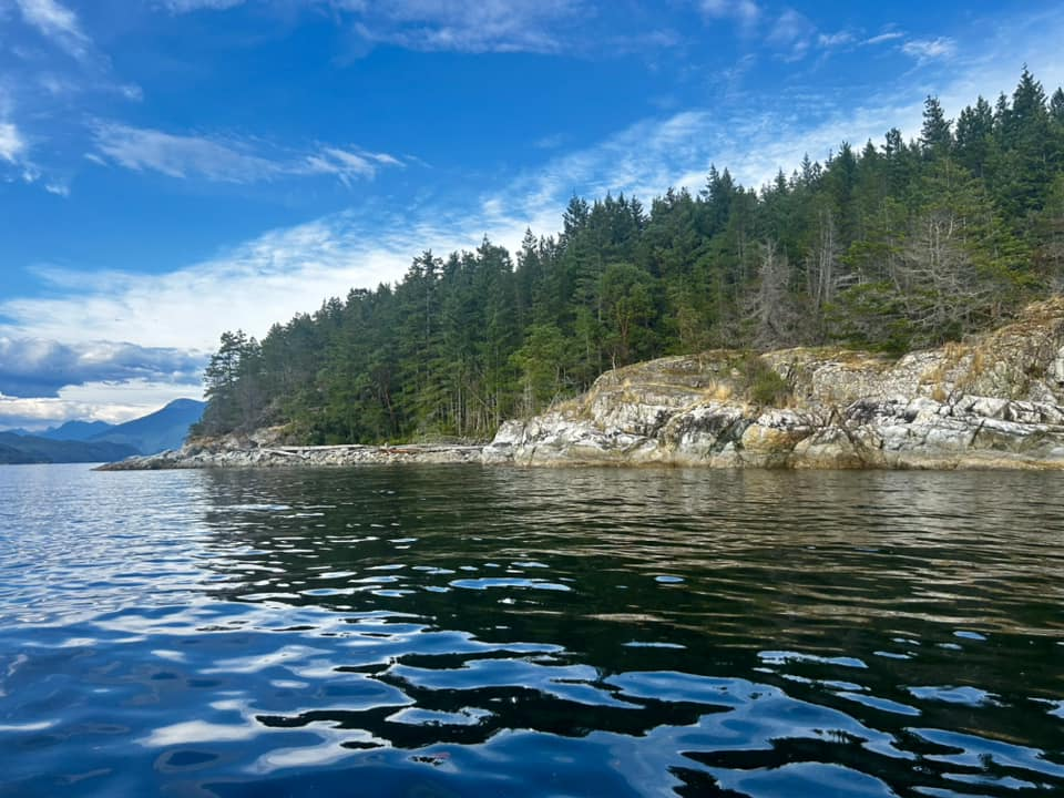
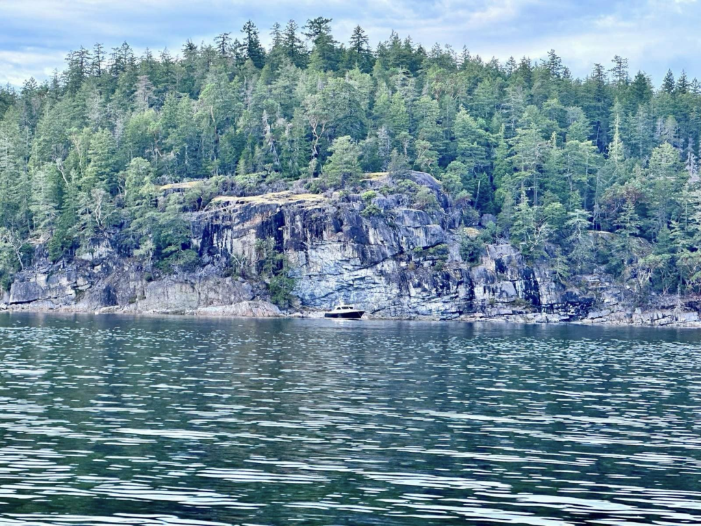

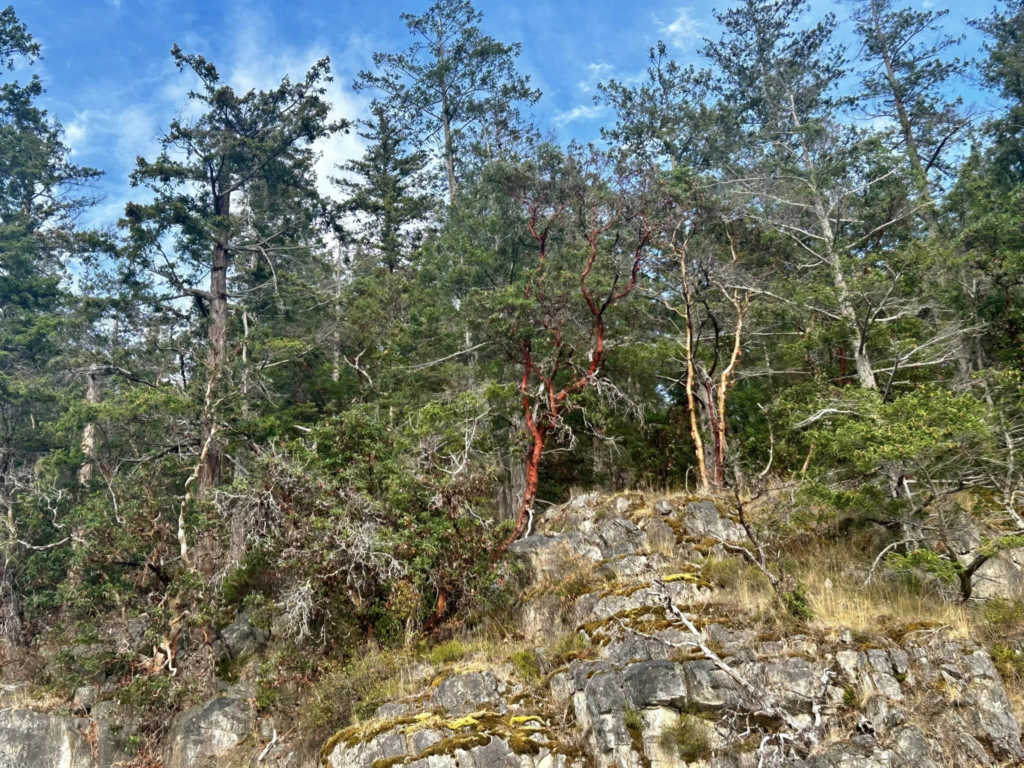
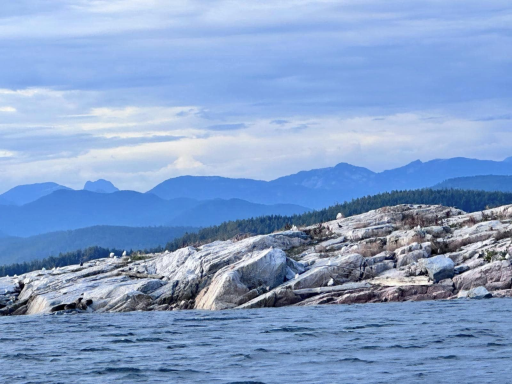
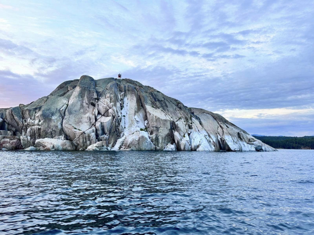
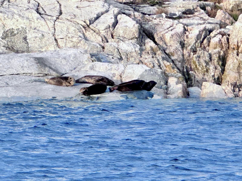
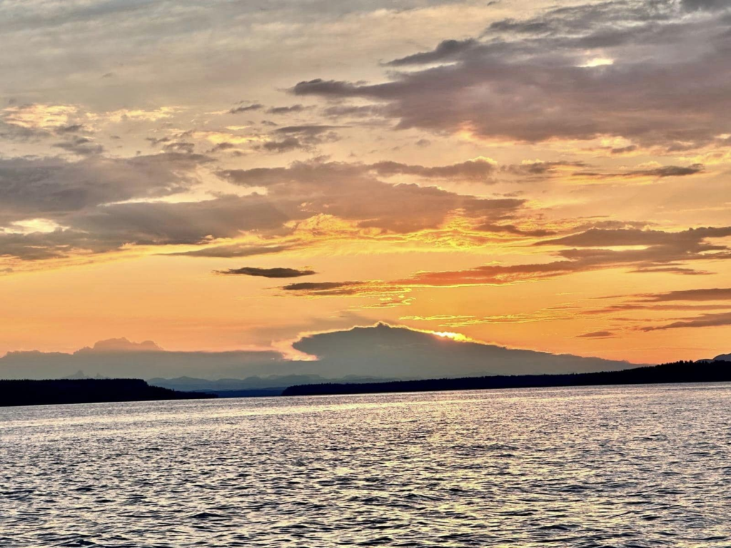
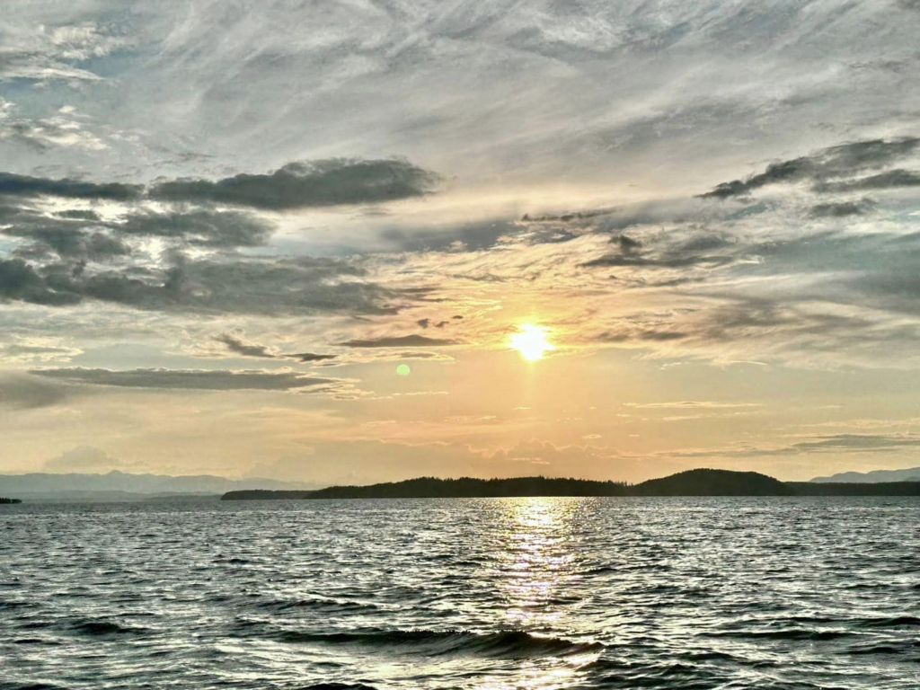
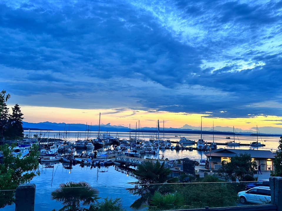
Zodiac boat ride to desolation sound – the islands !
Seals and Sea lions !
- Day 8: Skookumchuck narrows and back to Vancouver
Packed up from the islands and travelled back to main land Vancouver. On the way, on the Sechelt peninsula, we did an amazing hike to see the Skookumchuck narrows
Skookumchuck (means strong water aka rapids) Narrows is a 8km (out and back) easy hike through a beautiful temperate forest. Twice a day the tides go crazy in this area and it can go as high as 9ft to 12 ft and are also famous for the whirlpools and popular among extreme kayakers, surfers and divers. But unfortunately we went during low tide and couldn’t see any of the spectacular waves but the place was still so beautiful.
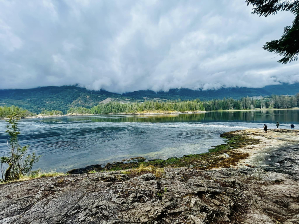
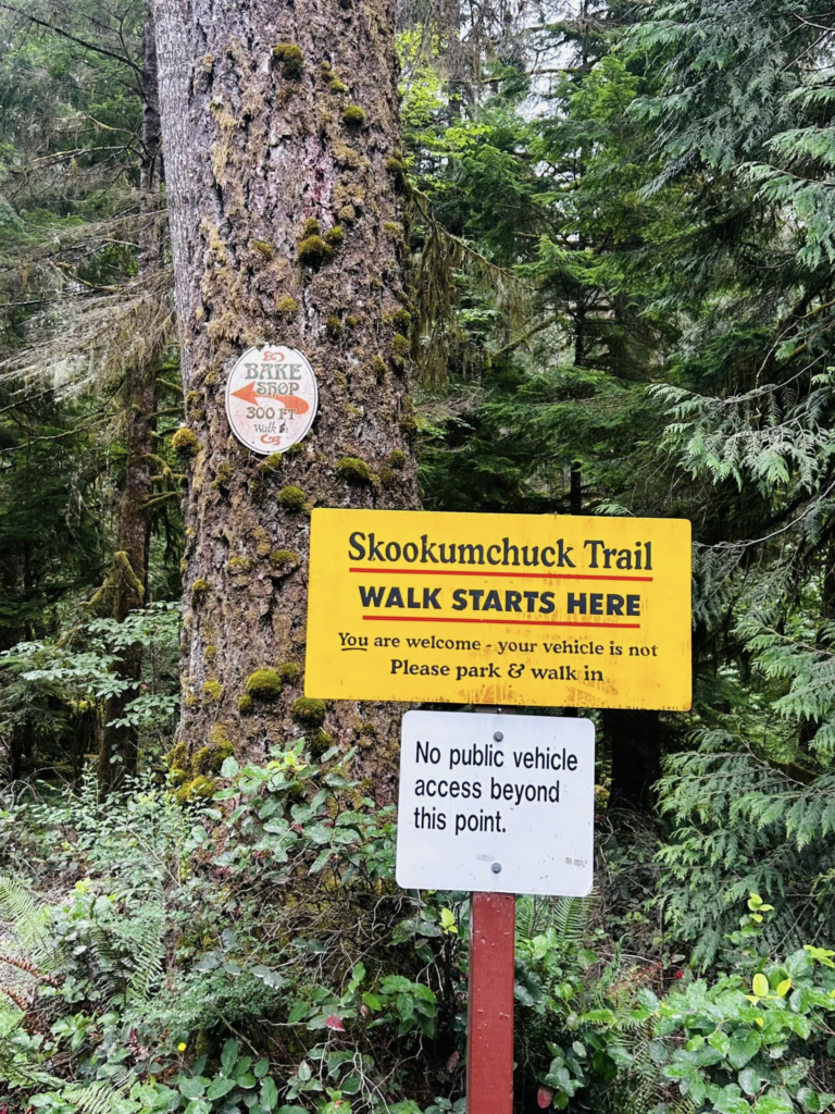
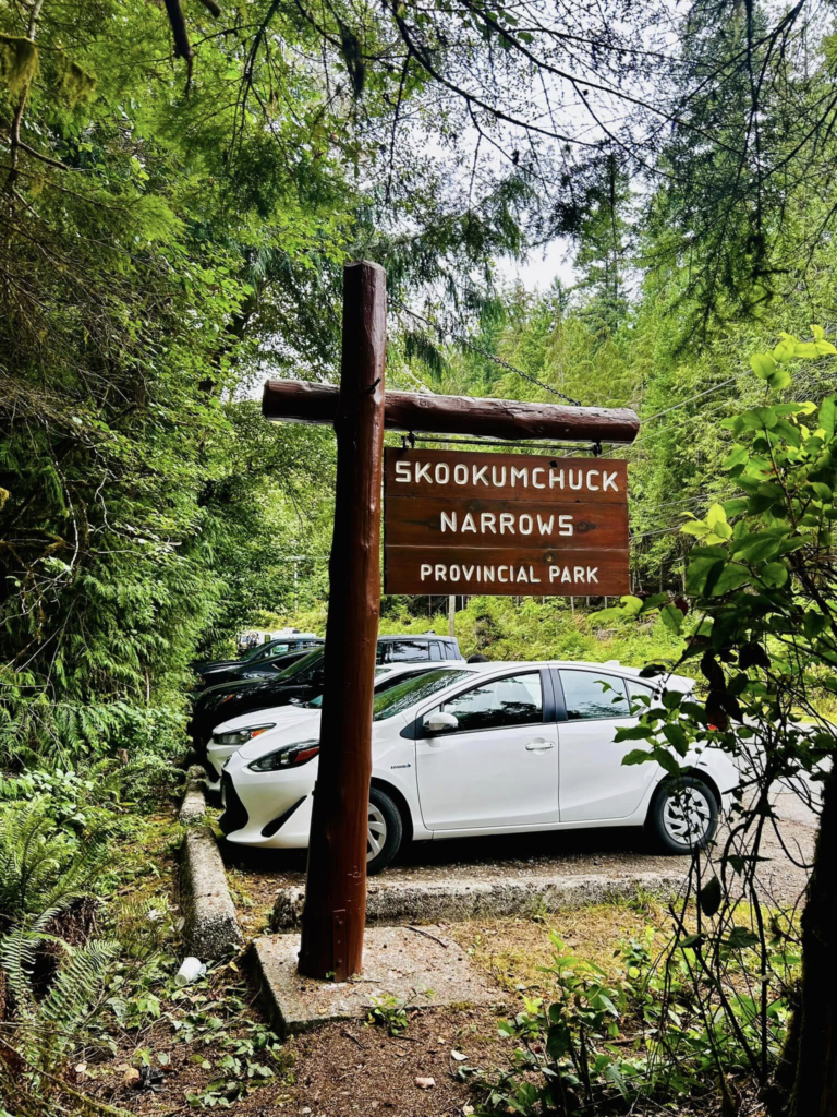
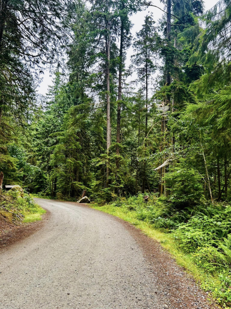
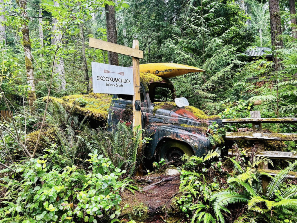
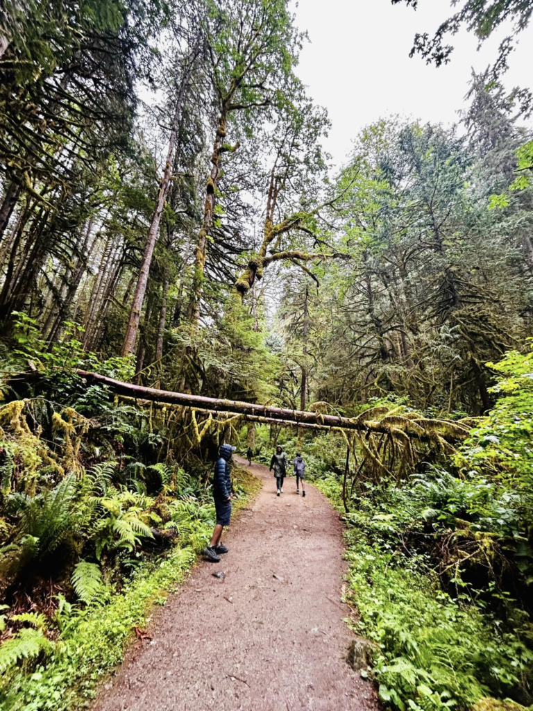
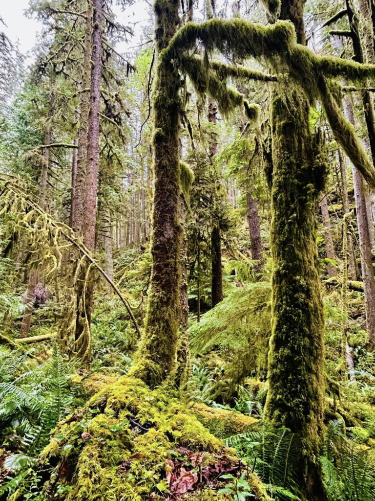
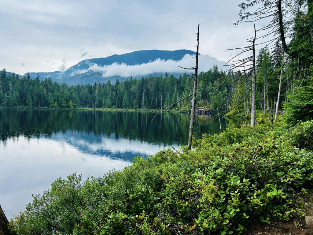
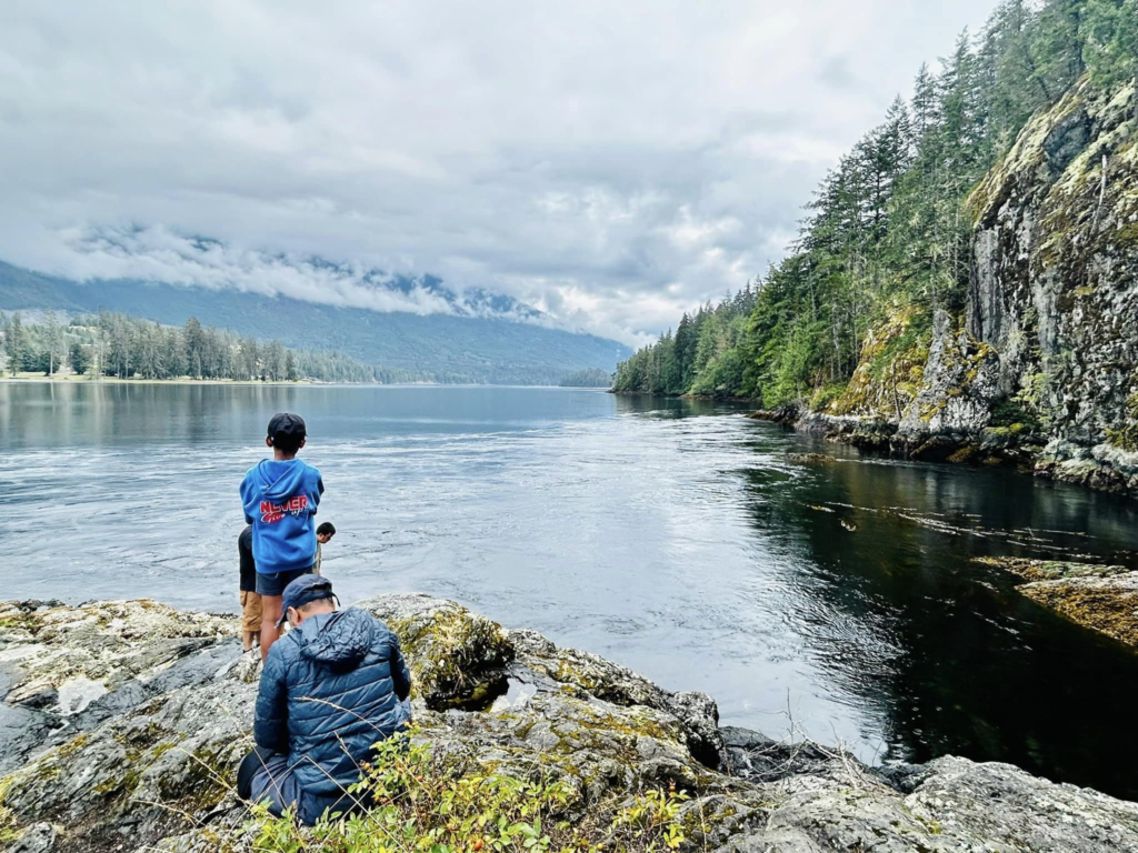
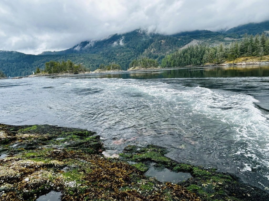
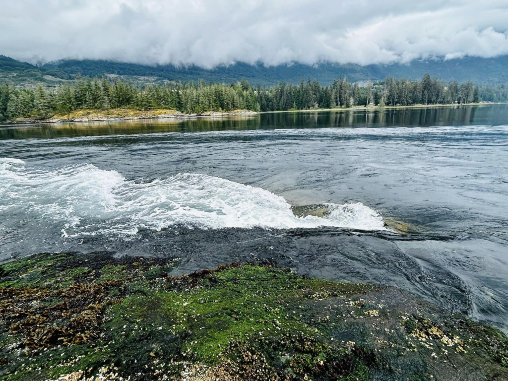
Hike to Skookumchuck Narrows
Ferry ride and travel back to Vancouver Mainland
On the ferry to Vancouver mainland this time we were able to observe how a ferry docks.
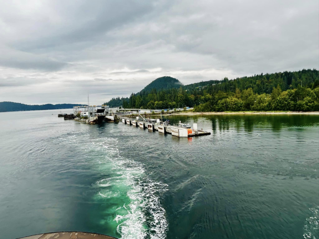
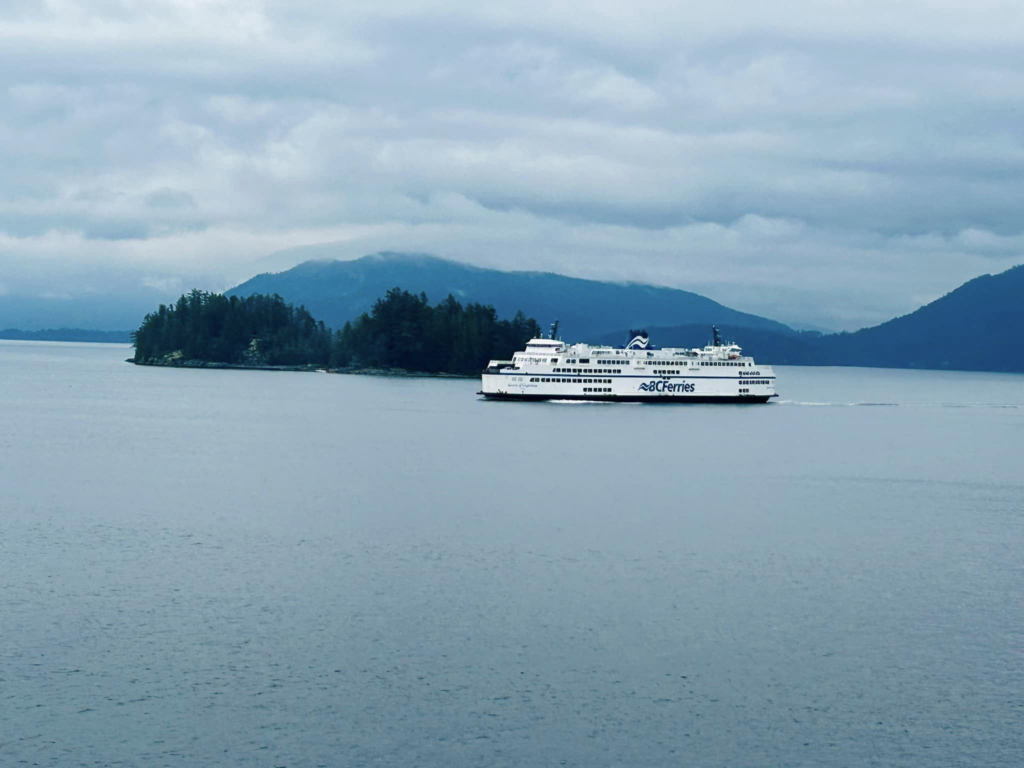
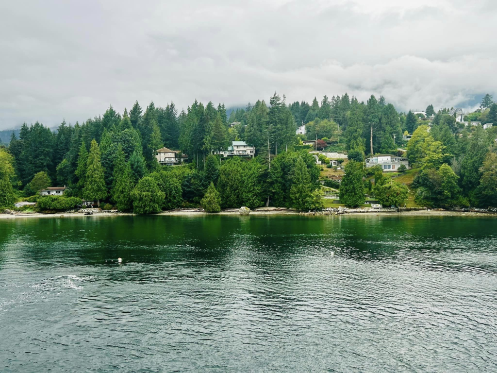
Ferry undocking. drive through Sechelt peninsula (we pass by David Bay to reach Landale Ferry terminal)
We stayed at Langley, Vancouver for the night in a hotel.
- Day 9 & 10 : Cultus lake, Kamloops and back to Calgary
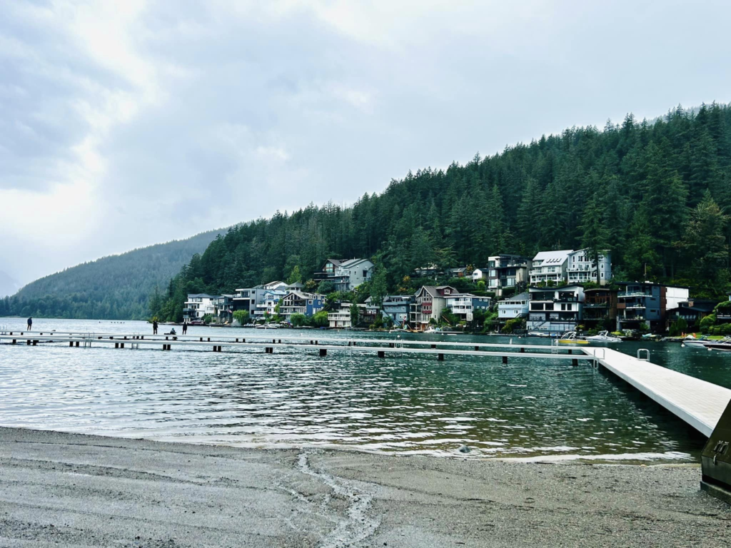
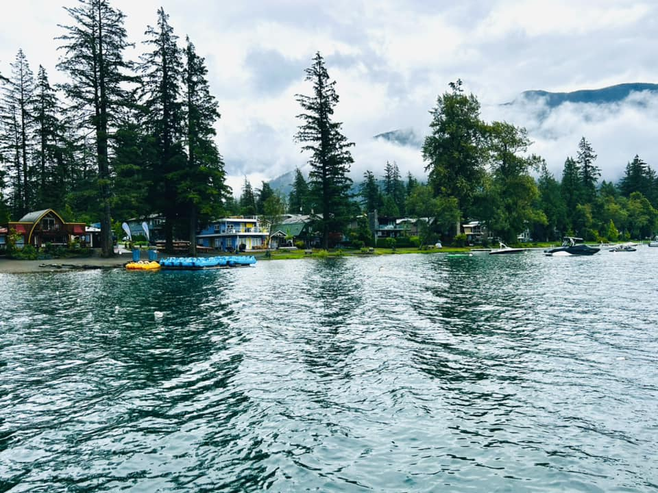
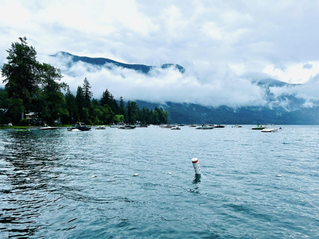
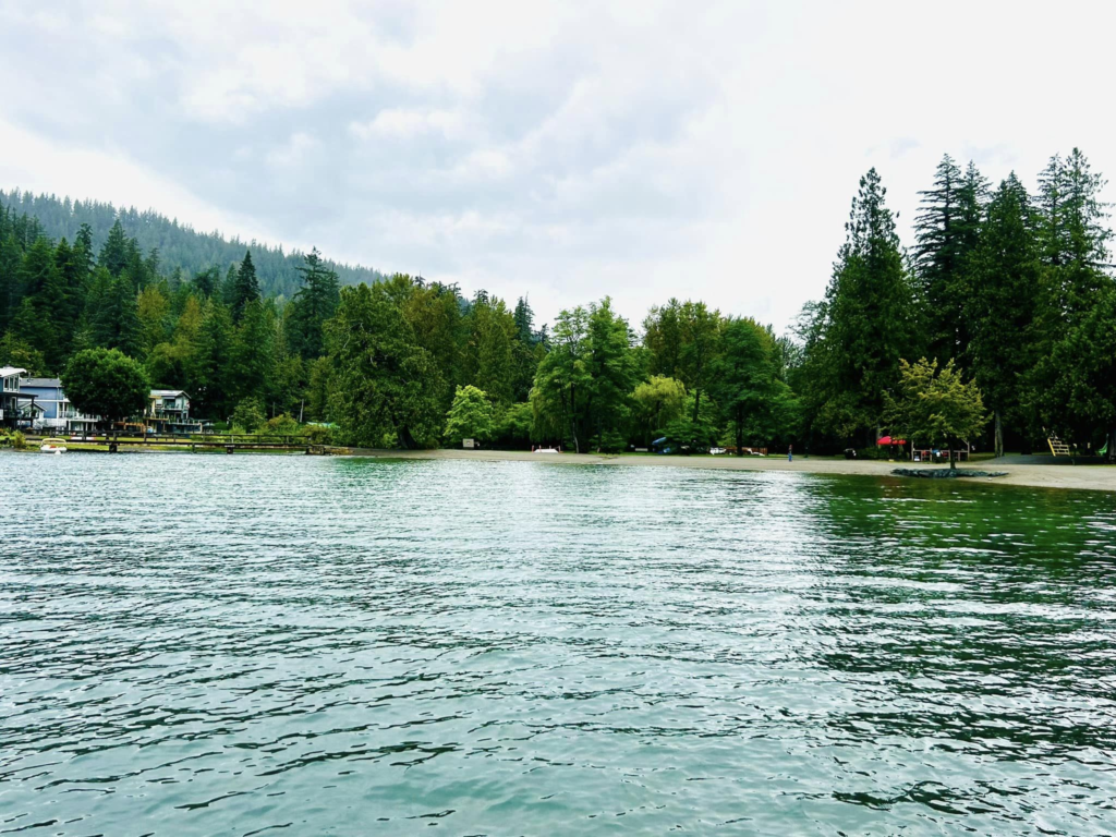
Our Day 9 was pretty rainy. Even though cultus water park was in the plan, due to rain and wind, we decided to skip it. Spent some time at the cultus lake, did a small hike to see Bridal Veil falls and then drove to Kamloops. Spent the night at Kamloops.
Cultus lake
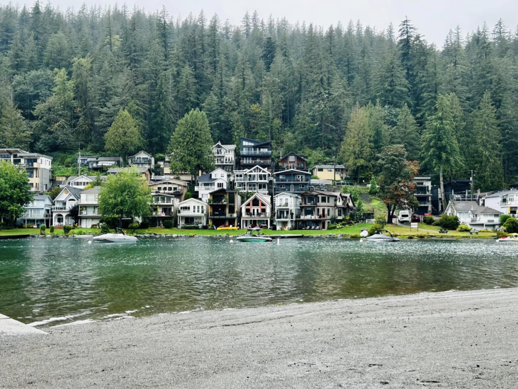
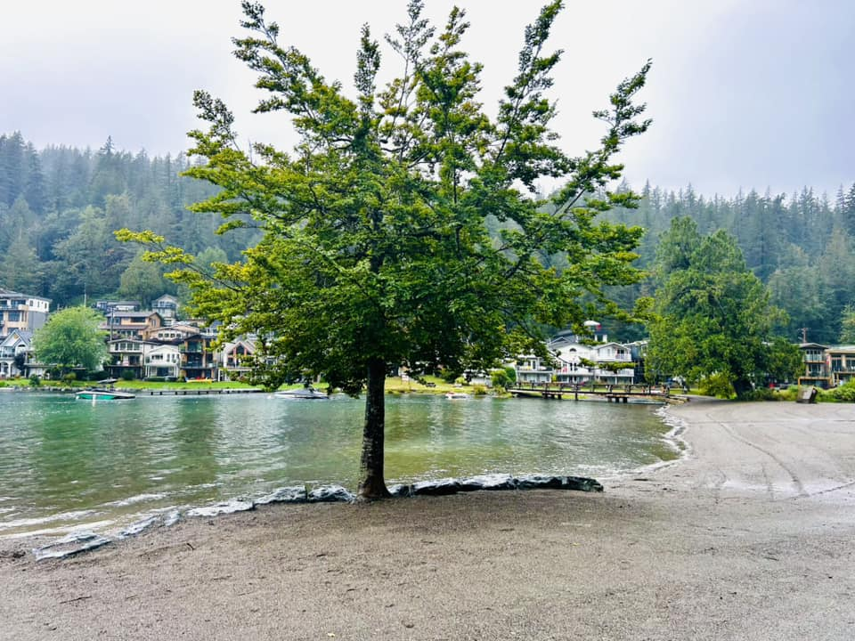
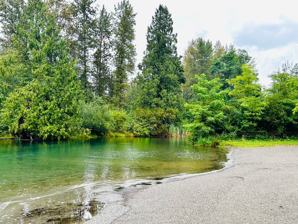
Bridal Veil Falls
A quick hike but pretty steep. Totally doable for all skill levels but take your time. The hike to the falls is through pretty thick forest and the falls are really majestic. The day we went was raining and it was foggy. we couldn’t see clearly the top of the falls and the forest was pretty foggy giving a mysterious and magical atmosphere !
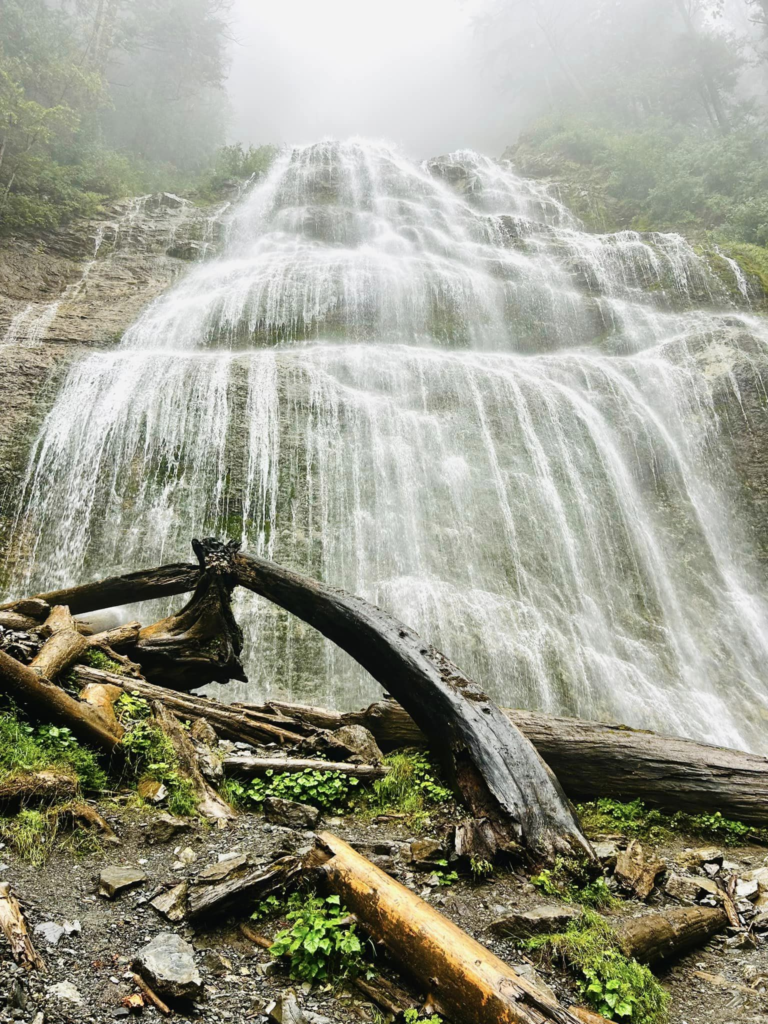
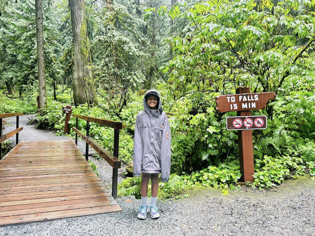
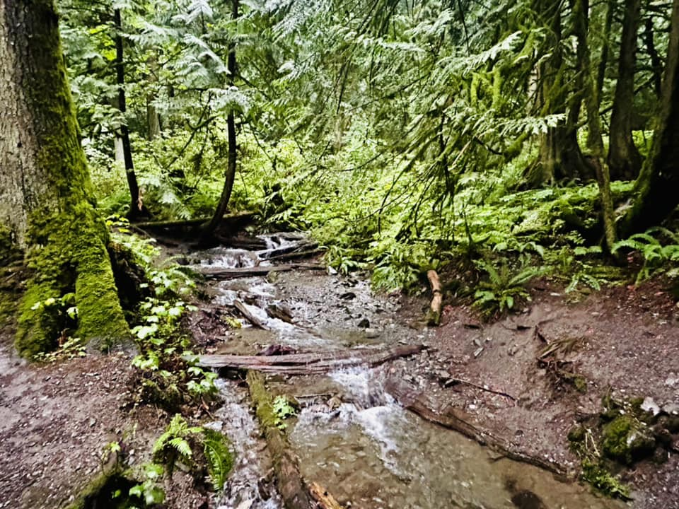
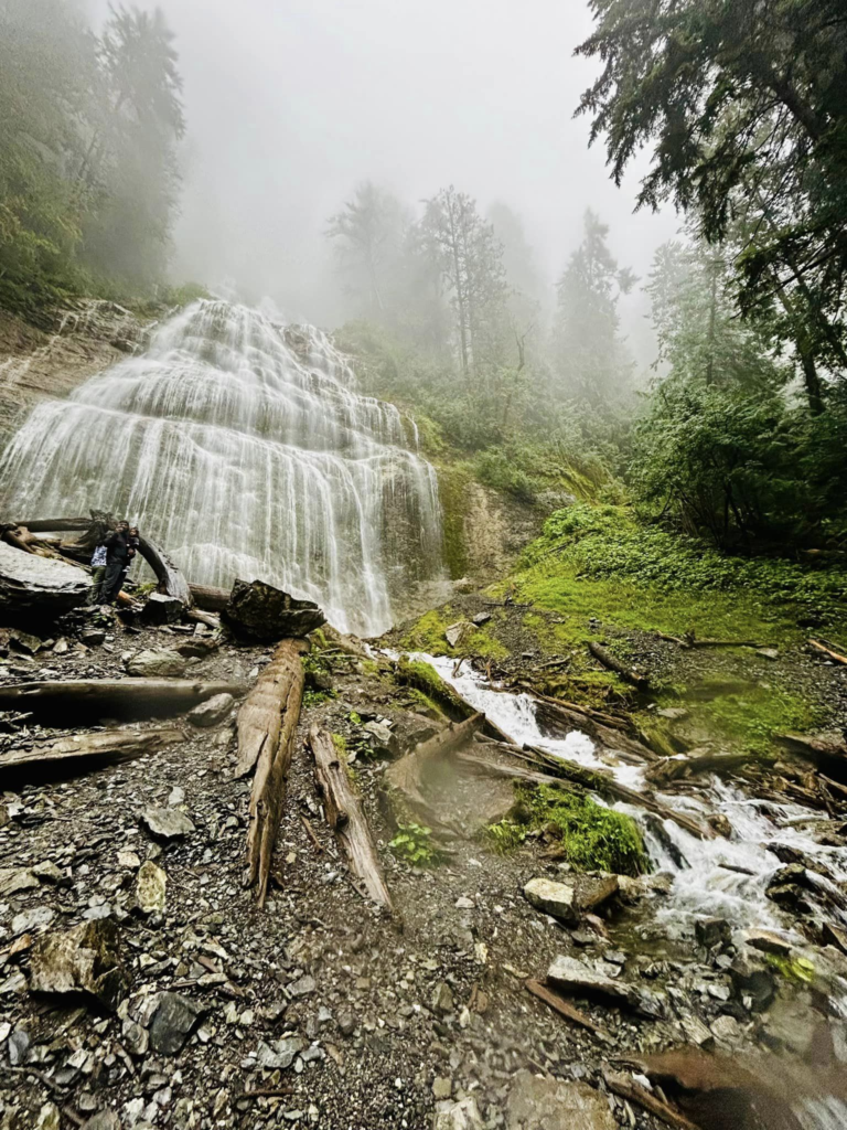
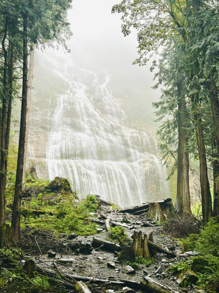
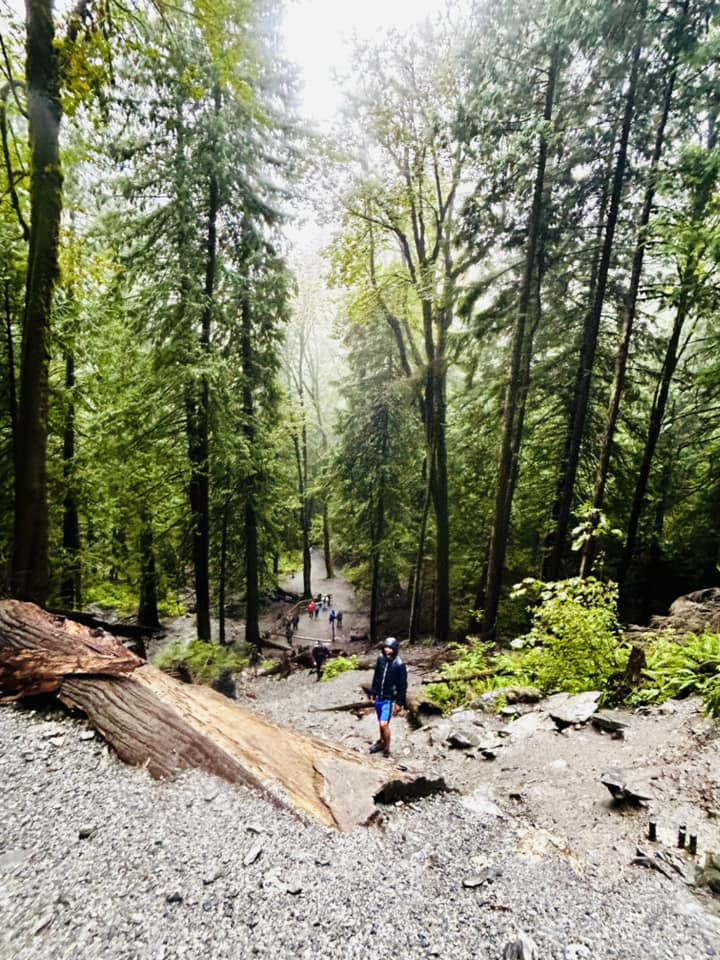
Cultus lake and Bridal Veil Falls
Kamloops
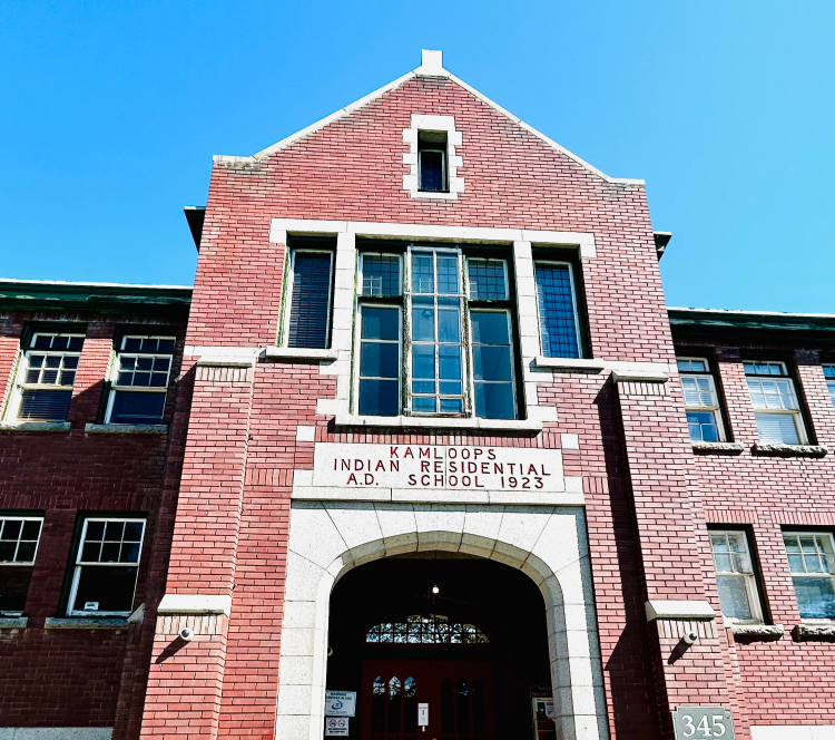
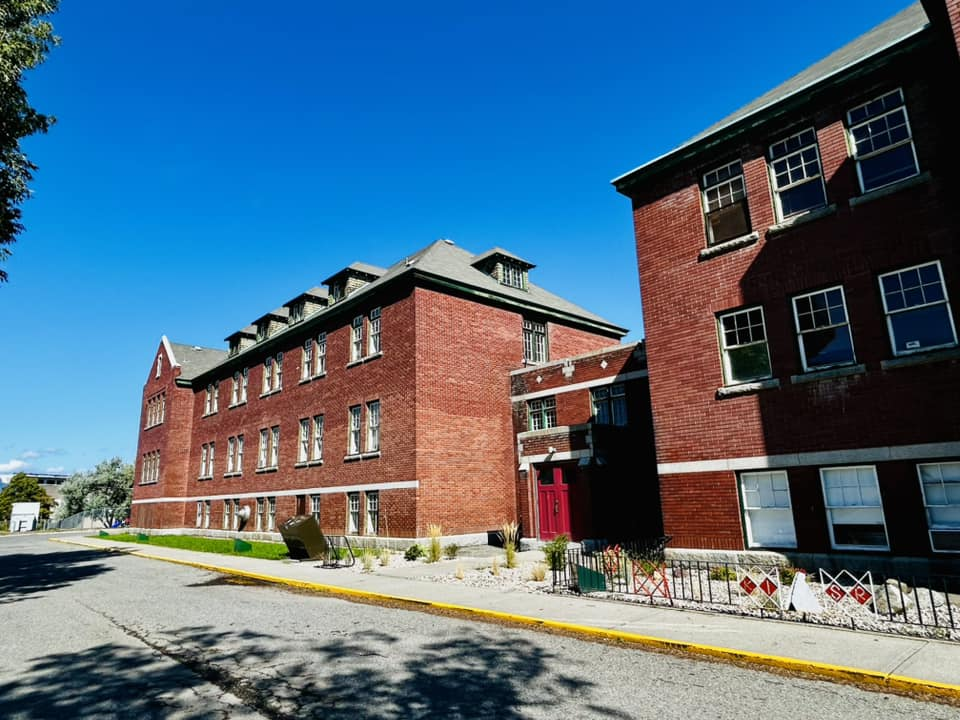
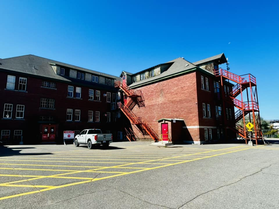
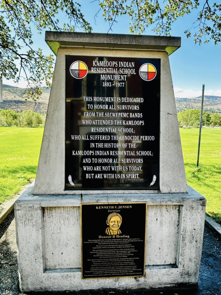
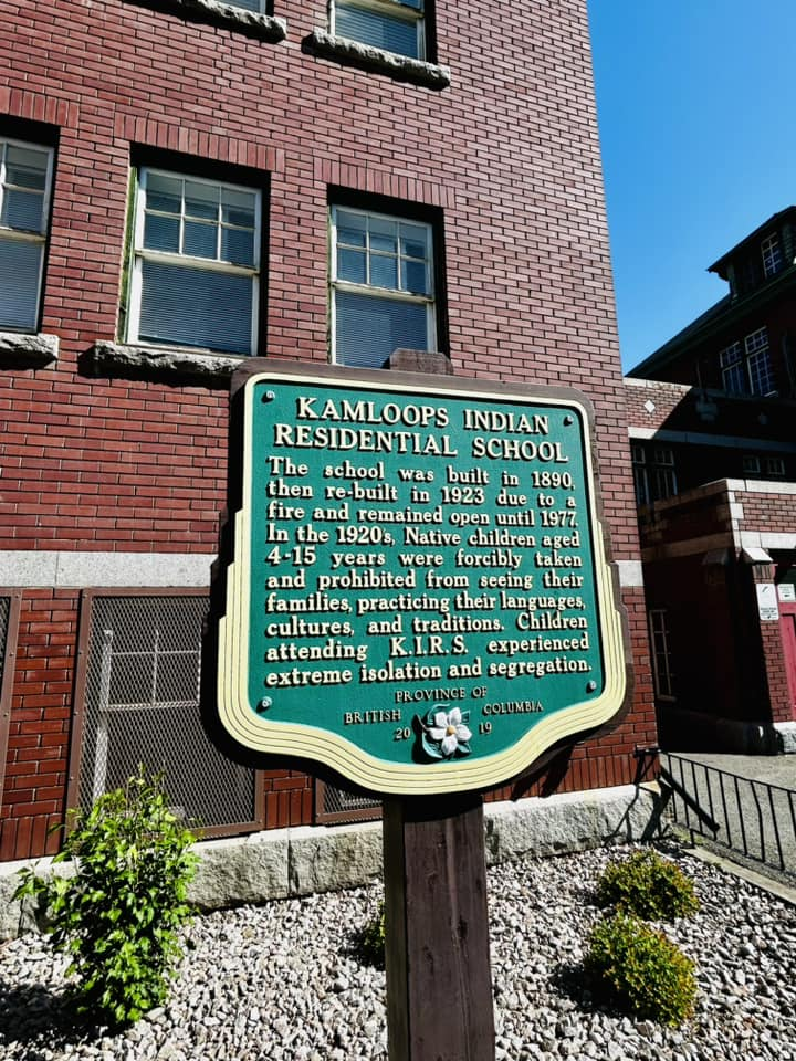
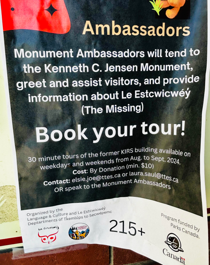
The last day of our road trip started with a stop at Kamloops residential school. But as it was a Sunday we couldn’t do the tour of the school. Noted it for one of our future road trips to Vancouver. After this stop, we pretty much drove straight back to Calgary with few pit stops on way.
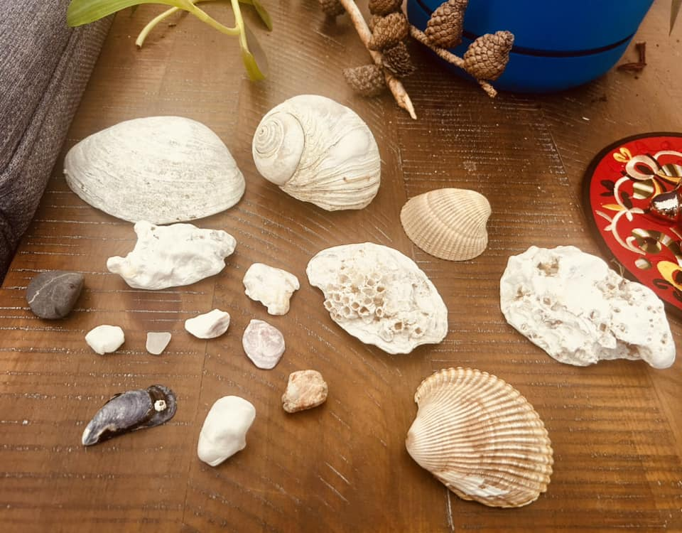
We reached back home with our treasures from the islands – sea shells !!
- Itinerary
- Day 1 : Drive from Calgary to Salmon Arm
- Day 2 : Salmon Arm to Langdale, Sunshine coast
- Lynn Canyon, North Vancouver
- Ferry from Horseshoe bay to Langdale
- Stay at B&B in Gibsons
- Day 3: Langdale, Sechelt
- Exploring breach near stay in Langdale
- David’s Bay, Sechelt
- Day 4: Sea kayaking, Sechelt and Ferry to Saltery Bay
- Sea kayaking lesson with Halfmoon bay Sea kayaks
- Ferry from Earls cove to Saltery Bay
- Stay at B&B near Saltery Bay
- Day 5: Exploring Powell river
- walk at Willington Beach trail, Powell River
- Gibsons Beach
- Breakwater concrete ships
- Myrtle rocks
- Day 6: Lund
- Diver’s rock, Lund
- Oak over arm
- Day 7: Lund
- Savory Island day trip
- Sunset zodiac boat tour to desolation sound
- Day 8: Travel back to Vancouver mainland
- Ferry back from Saltery Bay to Earls cove
- Hike Skookumchuck Narrows, Edgemont, near Earls cove
- Ferry back from Langdale to Horsehoe Bay
- Stay at Langley, Vancouver
- Day 9: Cultus and drive to Kamloops
- Cultus lake and waterpark
- Hike Bridal Veil falls
- Stay at Kamloops
- Day 10: Kamloops to Calgary
- Residential school, Kamloops
- Recommendations to carry
- Wet suits / Body suits
- Crocks / water shoes
- Umbrellas
- Rain jackets
- What to book in advance
- B&Bs
- BC Ferries
- Sea kayaking lessons – Half moon bay sea kayaks at Sechelt
- Lund Water taxi to Savory Island & Land taxi as needed
- Zodiac boat tour to desolation sound – Terracentric adventures, Lund
Leave a Reply